

California road trips
Go somewhere worth the drive.
65 day trips from 10 California starting points, built around the experience first—with the current-condition checks, timing and fuel strategy that keep the road from becoming the stressful part.
Explore the guidesChoose your starting point
From San Francisco
14 routes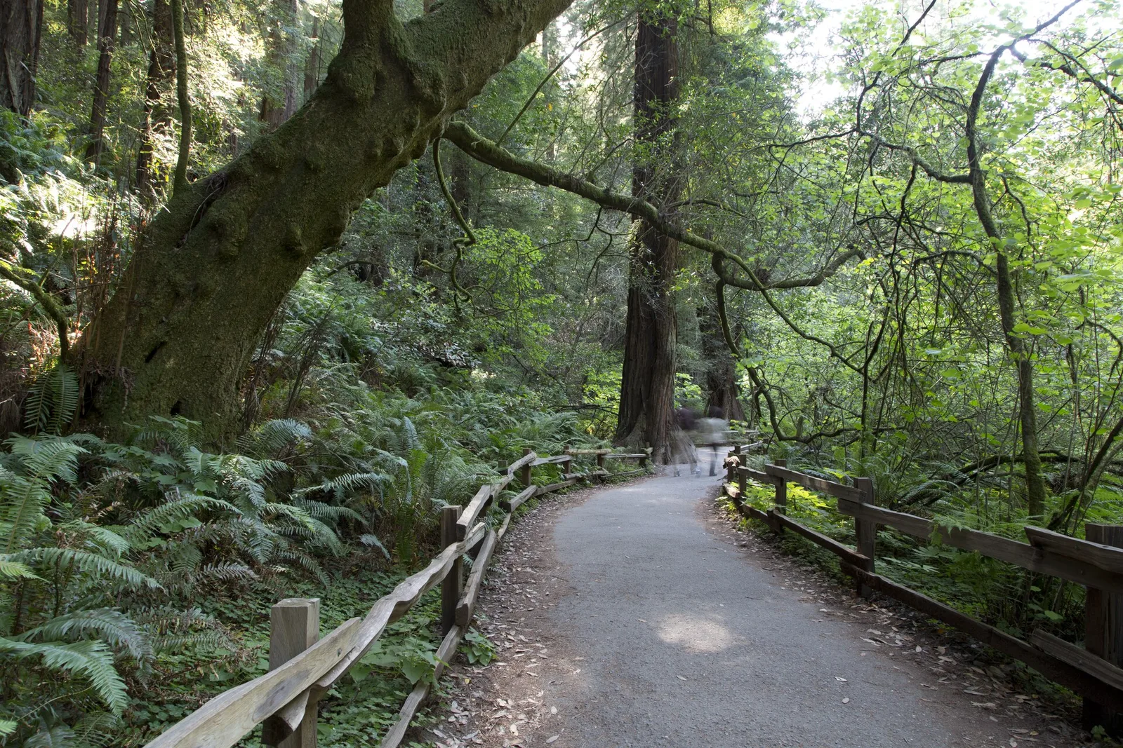
Redwoods · Marin County
A Muir Woods day trip without the last-minute scramble.
Cross the Golden Gate, walk beneath old-growth redwoods and leave enough flexibility for a Marin overlook or waterfront meal. The key is to reserve first and settle the fuel decision before the final winding approach.
Read the trip plan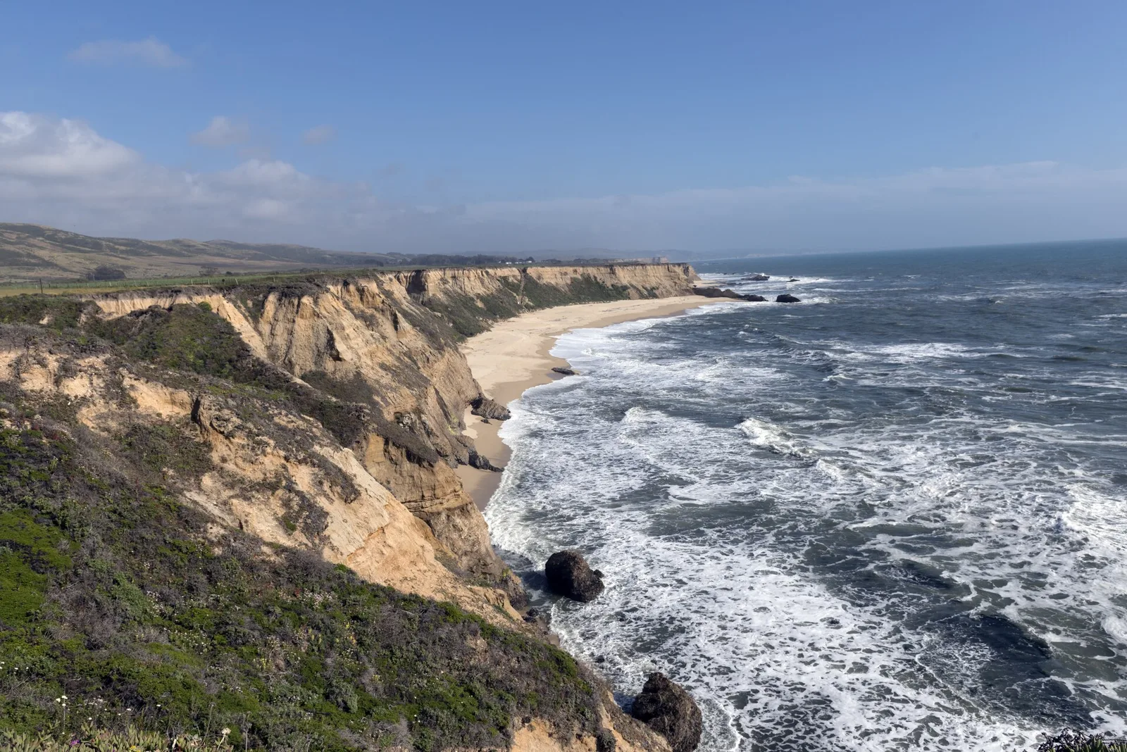
Pacific coast · San Mateo County
Take the coast road slowly enough to enjoy it.
The best version of this drive is not a race to Half Moon Bay. Give the fog room to move, stop at one or two coastal viewpoints and arrive with enough daylight for the beach or Main Street.
Read the trip plan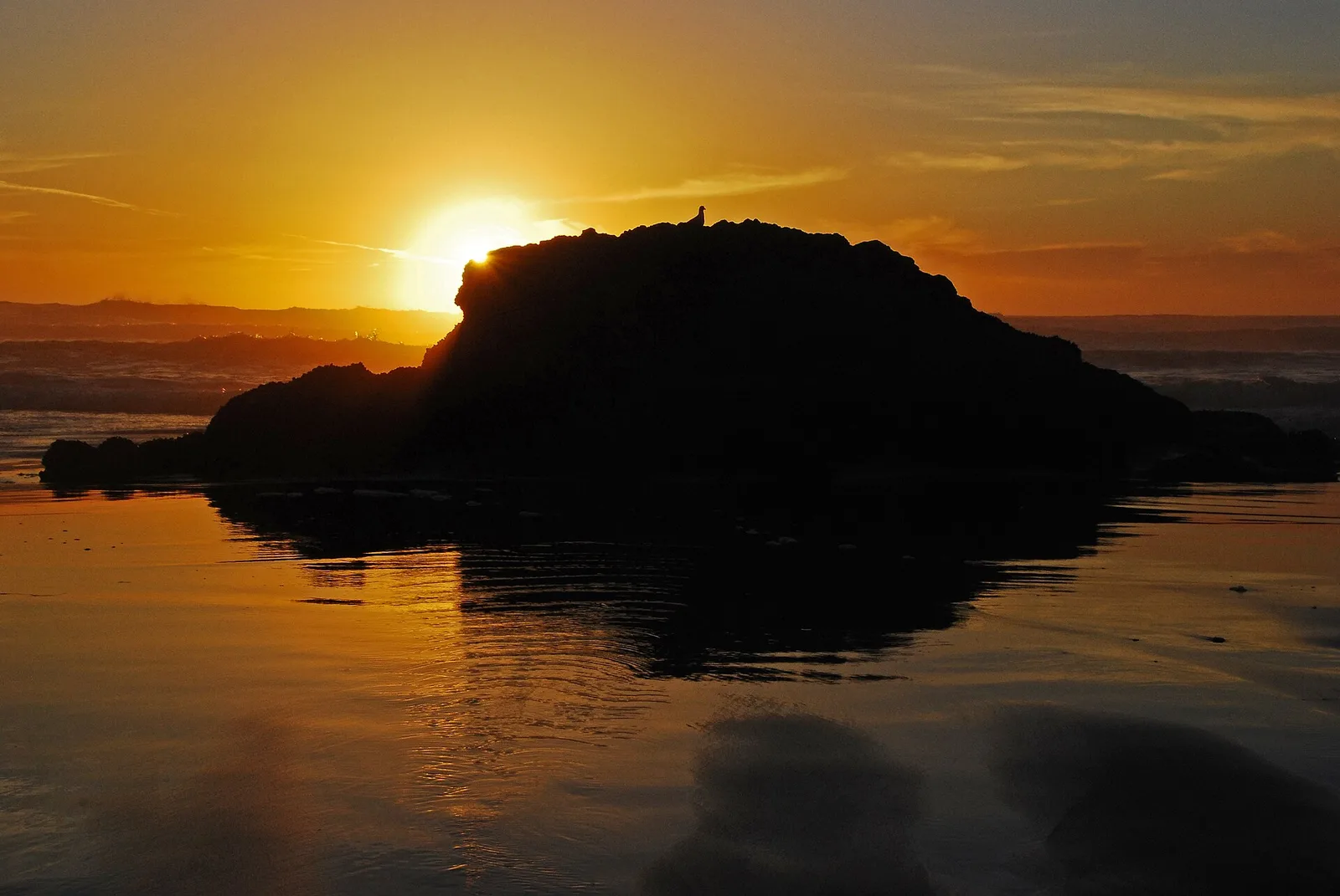
National seashore · Marin County
Point Reyes rewards one good plan and plenty of margin.
Point Reyes is a large landscape, not a single roadside attraction. Pick one anchor such as Bear Valley, Drakes Beach or the lighthouse area, then let weather and daylight decide how much more to add.
Read the trip plan
Golden Gate · Marin County
A big-view road trip that fits into one afternoon.
The Headlands feel far from the city even when the skyline remains in view. Pair one scenic overlook with Rodeo Beach or a short walk, then finish in Sausalito instead of collecting parking lots.
Read the trip plan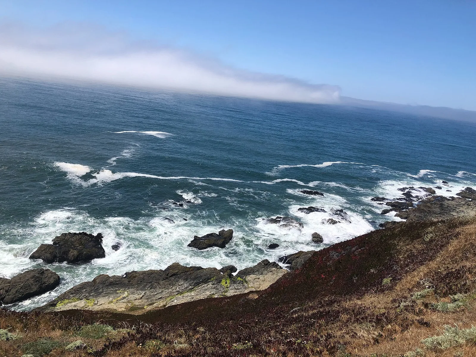
Sonoma Coast · Sonoma County
A Sonoma Coast day that does not become a mileage contest.
Bodega Bay is the useful anchor; Sonoma Coast State Park is the flexible extension. Choose a beach, headland or short trail based on the wind and surf, then turn back before every cove starts to look like one more stop.
Read the trip plan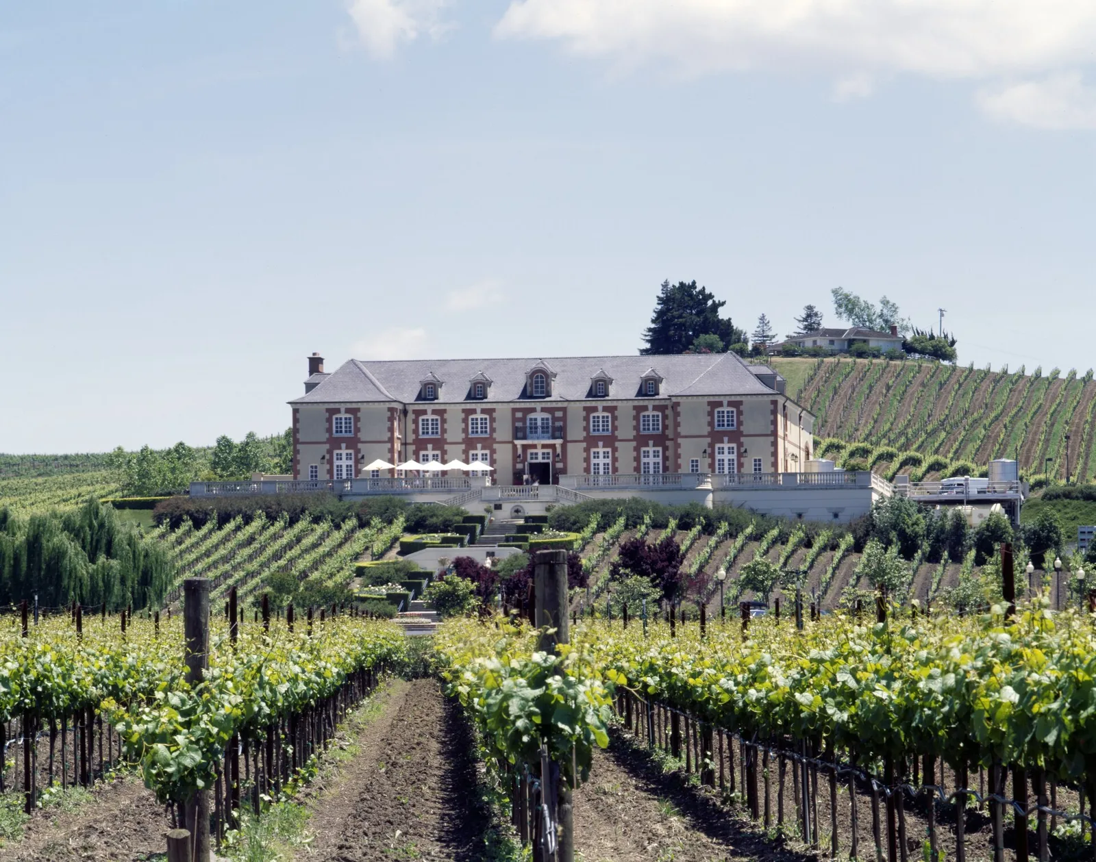
Wine country · Napa County
Do less in Napa and enjoy more of it.
A strong Napa day has two or three anchors, not six timed tastings. Decide who is driving, reserve the experiences that require it and leave space for lunch, downtown Napa or an outdoor stop.
Read the trip plan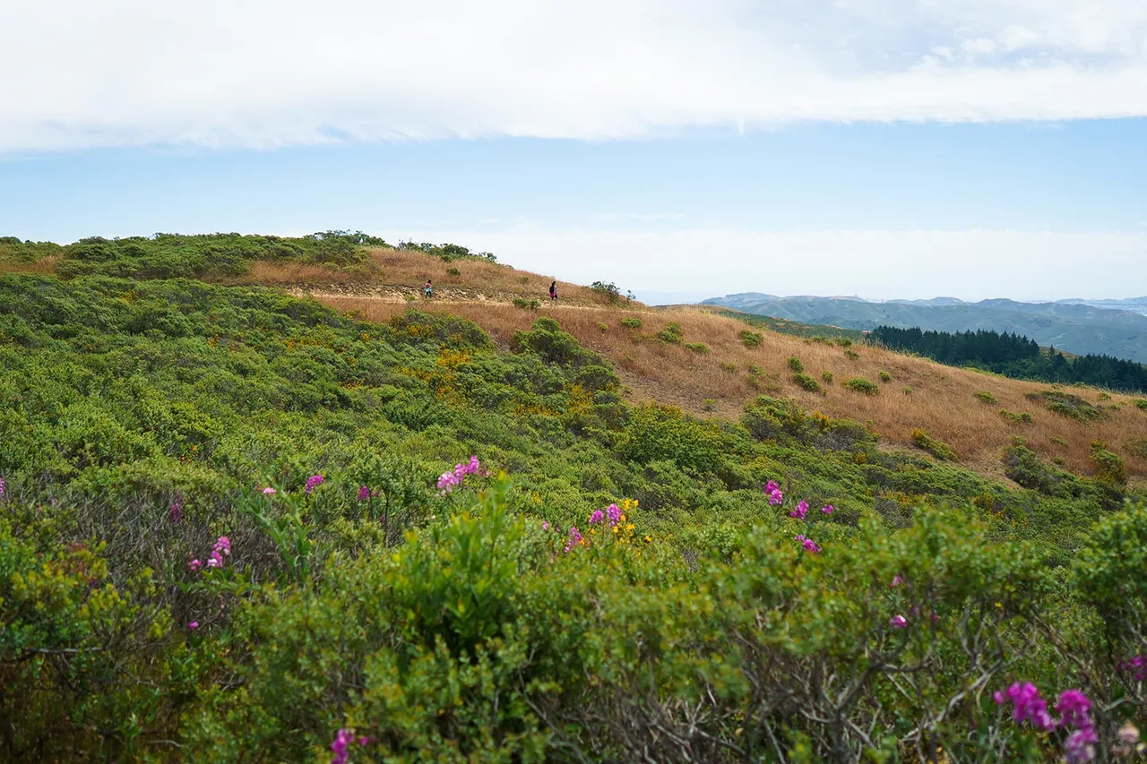
Mountain and coast | Marin County
Mount Tam first, Stinson Beach when the coast warms up.
Pair East Peak views with a relaxed beach finish without crossing Marin twice. An early mountain start also gives you a better chance at parking and clear air.
Read the trip plan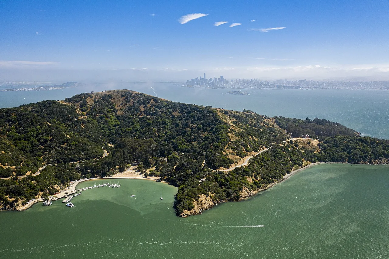
Ferry day | Marin County
Drive to Tiburon, then let the ferry change the pace.
Angel Island is not a road destination. The useful plan ends the drive at the ferry, protects the return sailing and keeps the island portion simple enough to enjoy on foot.
Read the trip plan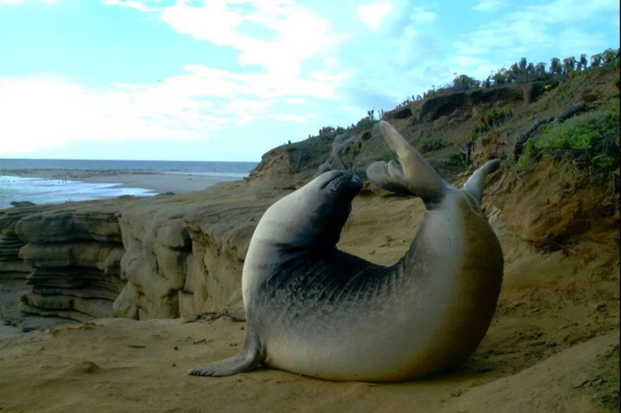
Wild coast | San Mateo County
Make Ano Nuevo the appointment and Pescadero the reward.
This coast day works best when the wildlife rules set the schedule. Reserve the seasonal experience first, then use Pescadero for food and a slower finish.
Read the trip plan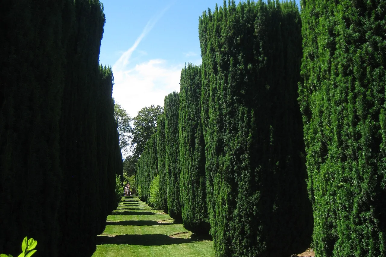
Gardens and estate | San Mateo County
Give Filoli the morning, then keep Woodside unhurried.
The estate has enough house, garden and natural-land detail to fill several hours. A timed entry and one flexible stop nearby make a better day than an overloaded Peninsula checklist.
Read the trip plan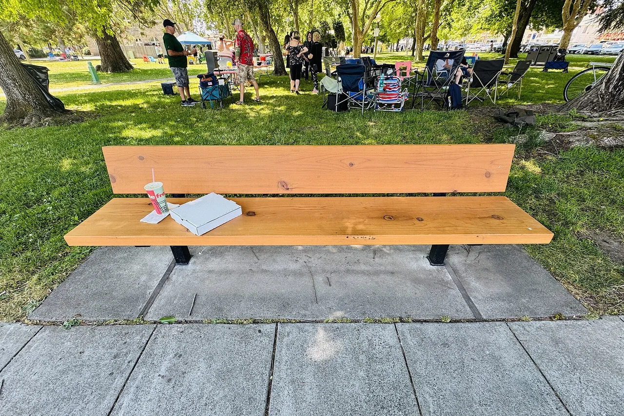
History and plaza | Sonoma County
Park once and let Sonoma Plaza organize the day.
Sonoma's historic sites, food and shops sit close enough together that the best road-trip move is to stop driving. Build one walkable loop and protect the return driver.
Read the trip plan
Upper Napa Valley | Napa County
Make Calistoga the destination, not the last item on a Napa checklist.
Calistoga works best as a slow day with one reserved experience and a walkable town center. The long drive is more rewarding when the schedule leaves room to reset.
Read the trip plan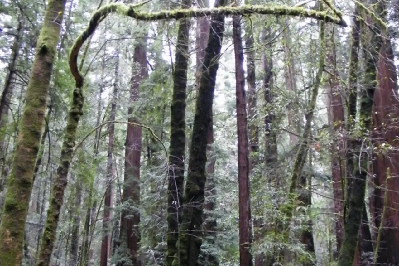
Redwoods and river town | Sonoma County
Walk the redwoods early, then slow down in Guerneville.
Armstrong's accessible grove and Guerneville make a strong full-day pair. Arrive before the busiest hours, choose one forest loop and save the town for an easy afternoon.
Read the trip plan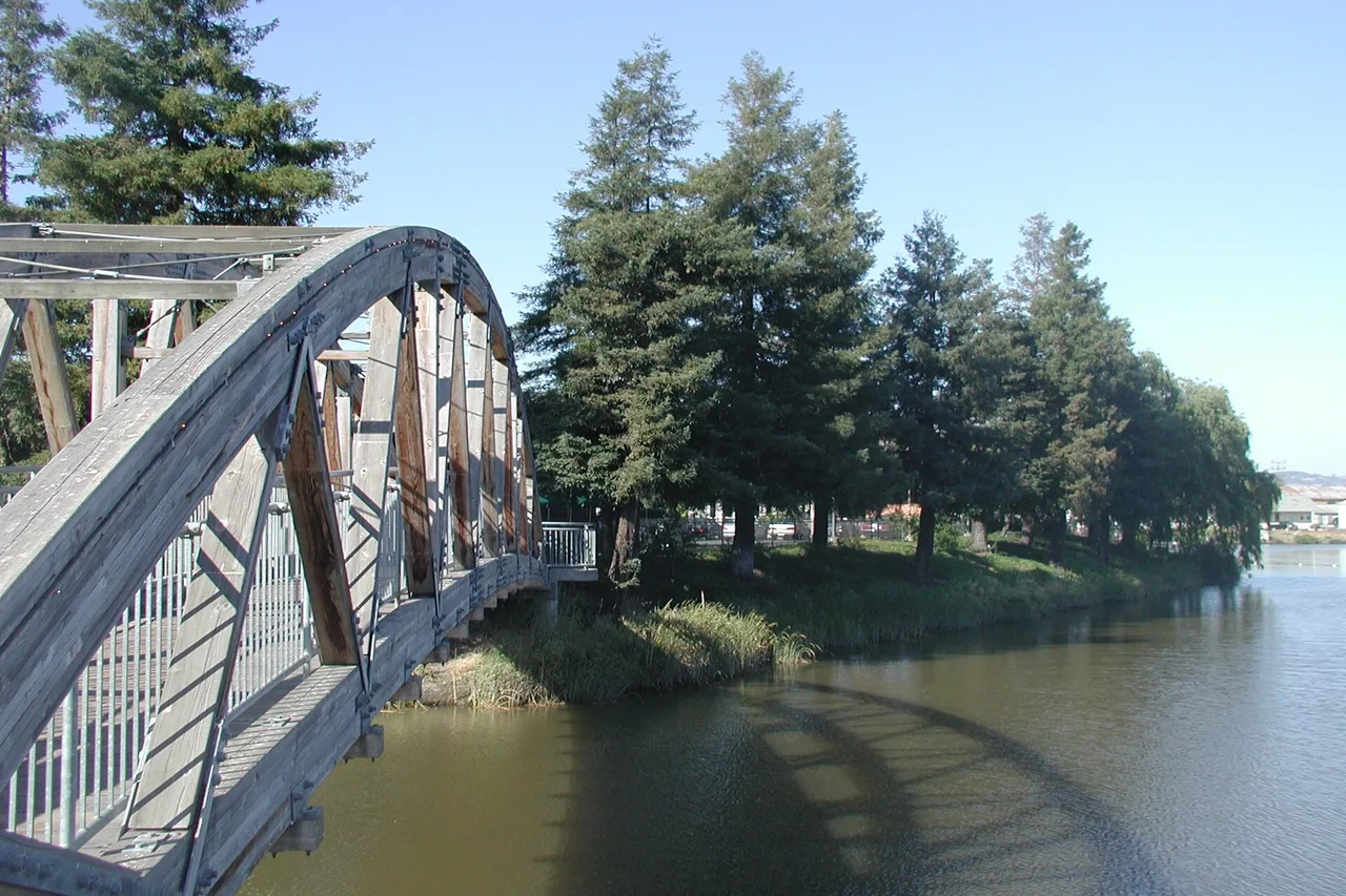
Historic downtown | Sonoma County
Petaluma is best when the car stays parked.
Historic blocks, the river and independent shops fit into an easy walking day. Arrive with one meal idea, then let the downtown streets do the organizing.
Read the trip planChoose your starting point
From Oakland
8 routes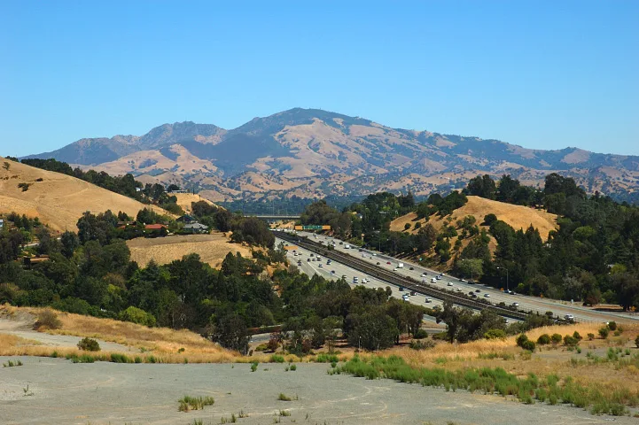
Summit drive · Contra Costa County
Save the summit for the view, not a low-fuel warning.
Mount Diablo turns a short East Bay distance into a real mountain drive. Choose the entrance before departure, respect cyclists and arrive early enough to descend before the gates close.
Read the trip plan
Lake and valley · Alameda County
Pair Livermore with the lake, not an overfilled schedule.
Downtown Livermore and Del Valle Regional Park create a flexible East Bay day: breakfast or lunch in town, then a lake walk, picnic or seasonal activity ten miles south.
Read the trip plan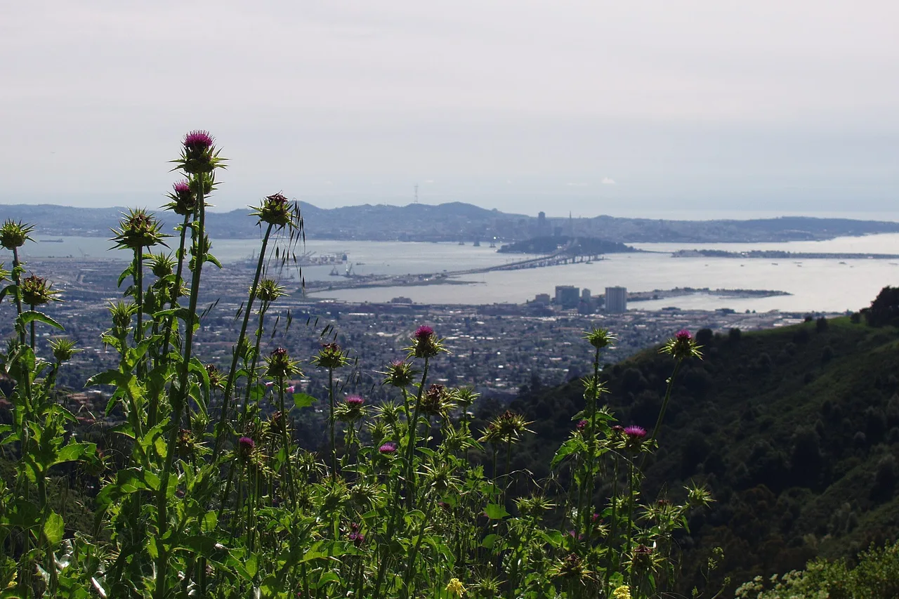
Hills above the city | Contra Costa County
Use Tilden for a real escape without spending the day in the car.
The drive is short, but the park is large and its entrances are easy to mix up. Pick one anchor, add one nearby view and keep the route compact.
Read the trip plan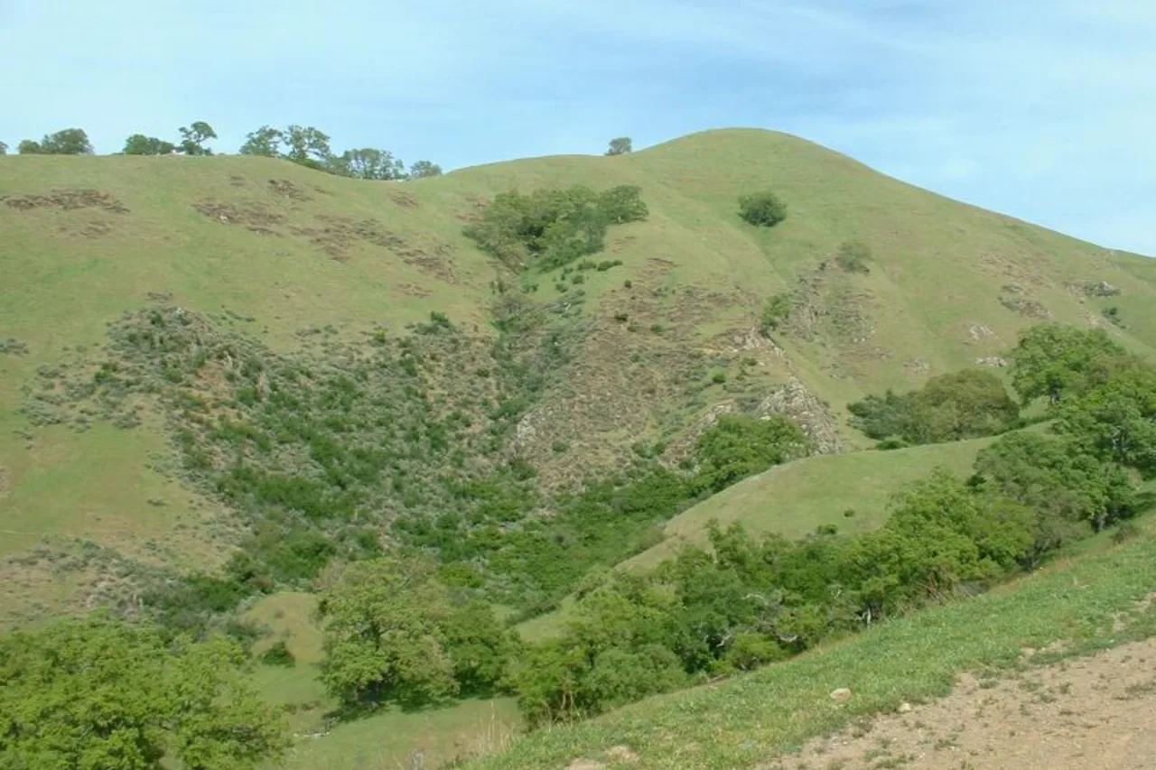
Creek and open hills | Alameda County
Reach Sunol prepared, then choose the hike by the heat.
Sunol feels much farther from Oakland than the map suggests. The useful plan solves water, fuel and trail ambition before Calaveras Road narrows.
Read the trip plan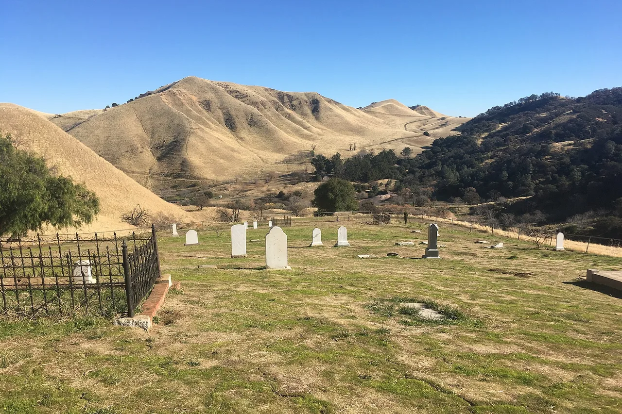
Mining history and hills | Contra Costa County
Book the mine first, then build the hillside day around it.
Black Diamond combines exposed trails with a very specific industrial history. A reserved tour, Rose Hill walk and conservative heat plan make the drive worthwhile.
Read the trip plan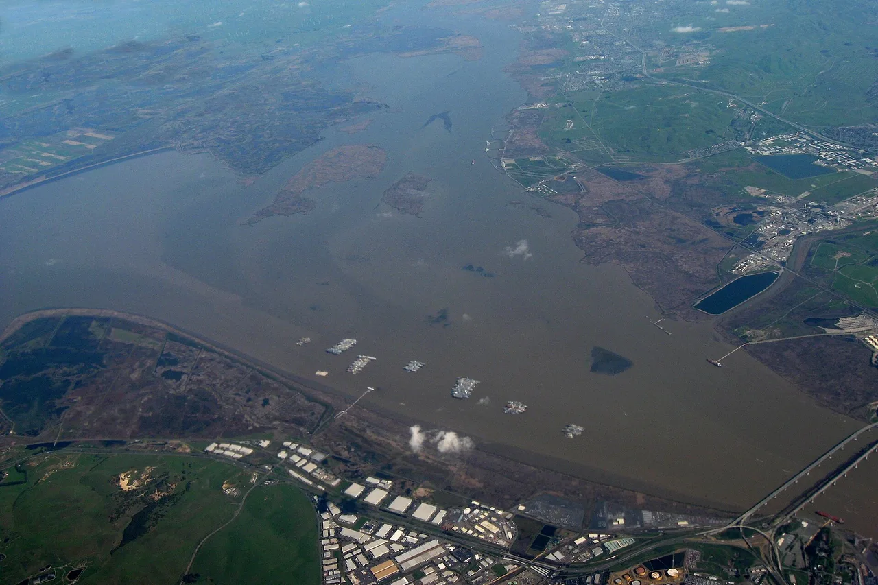
Strait and small town | Contra Costa County
Use Port Costa for atmosphere and Martinez for the wider day.
The Carquinez Strait brings together shoreline, industrial history and a tiny town that should not be overloaded. Pair one ridge or waterfront walk with one meal.
Read the trip plan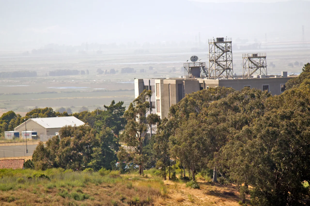
Naval history and shoreline | Solano County
Read Mare Island as a landscape, not a single attraction.
Historic shipyard structures, working businesses and shoreline open space share one island. A focused loop and current access check make the visit coherent.
Read the trip plan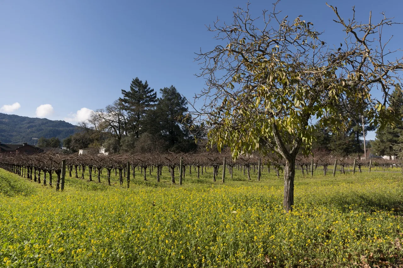
Wine Country gateway | Napa County
From Oakland, make downtown Napa the easy first win.
The I-80 approach reaches Napa through a useful service corridor. Start downtown, keep reservations limited and make the designated-driver plan explicit.
Read the trip planChoose your starting point
From San Jose
8 routes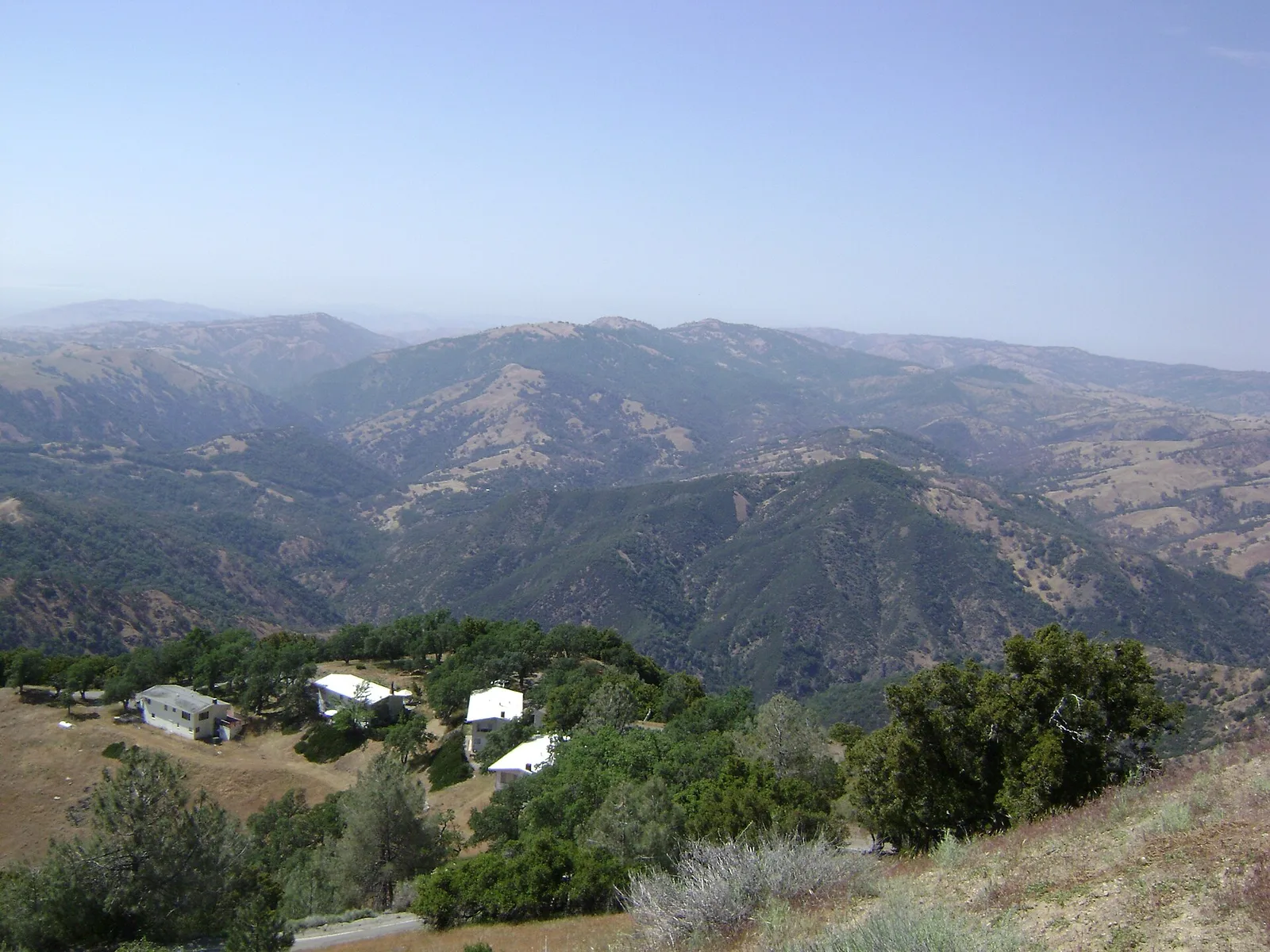
Observatory road · Santa Clara County
Drive Mount Hamilton with time, fuel and daylight in reserve.
The summit is close to San Jose on a map and much farther in driving effort. The road is narrow and relentlessly winding, so a simple summit visit is a better plan than stacking the day with distant stops.
Read the trip plan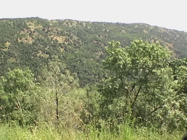
Backcountry · Santa Clara County
Prepare in Morgan Hill, then let Henry Coe feel remote.
Northern California’s largest state park begins with a demanding final road and opens into rugged Diablo Range country. Pick an entrance and a modest trail before leaving the valley.
Read the trip plan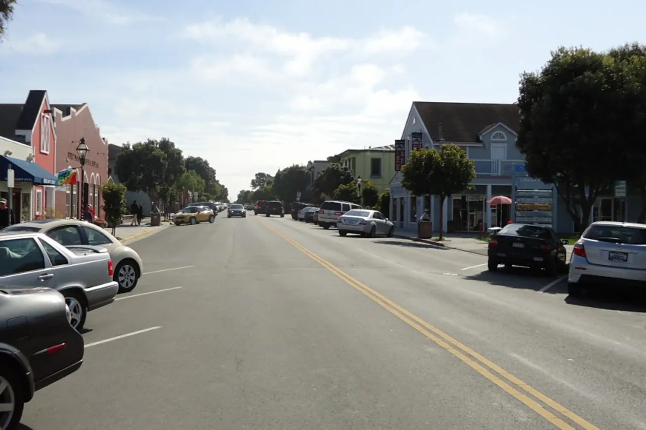
South Bay to the coast | San Mateo County
Use downtown Half Moon Bay before choosing the beach.
Highway 92 turns a South Bay day into a real coast change. A downtown first stop gives the fog time to move and keeps lunch from becoming a parking-lot decision.
Read the trip plan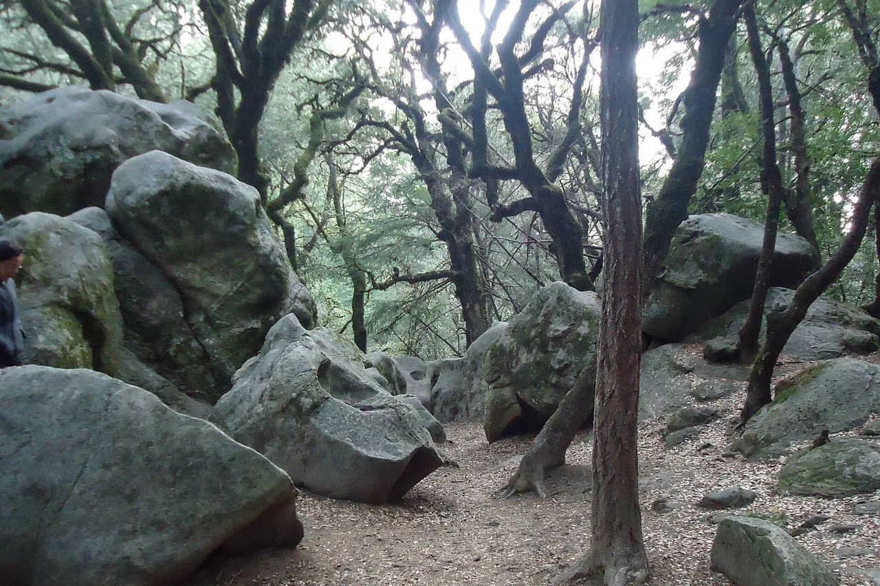
Sandstone and skyline | Santa Cruz Mountains
Reach Castle Rock early and let one trail be the trip.
Sculpted sandstone and ridge views feel far from San Jose, but parking and mountain weather set firm limits. A focused loop is better than an ambitious chain of Skyline stops.
Read the trip plan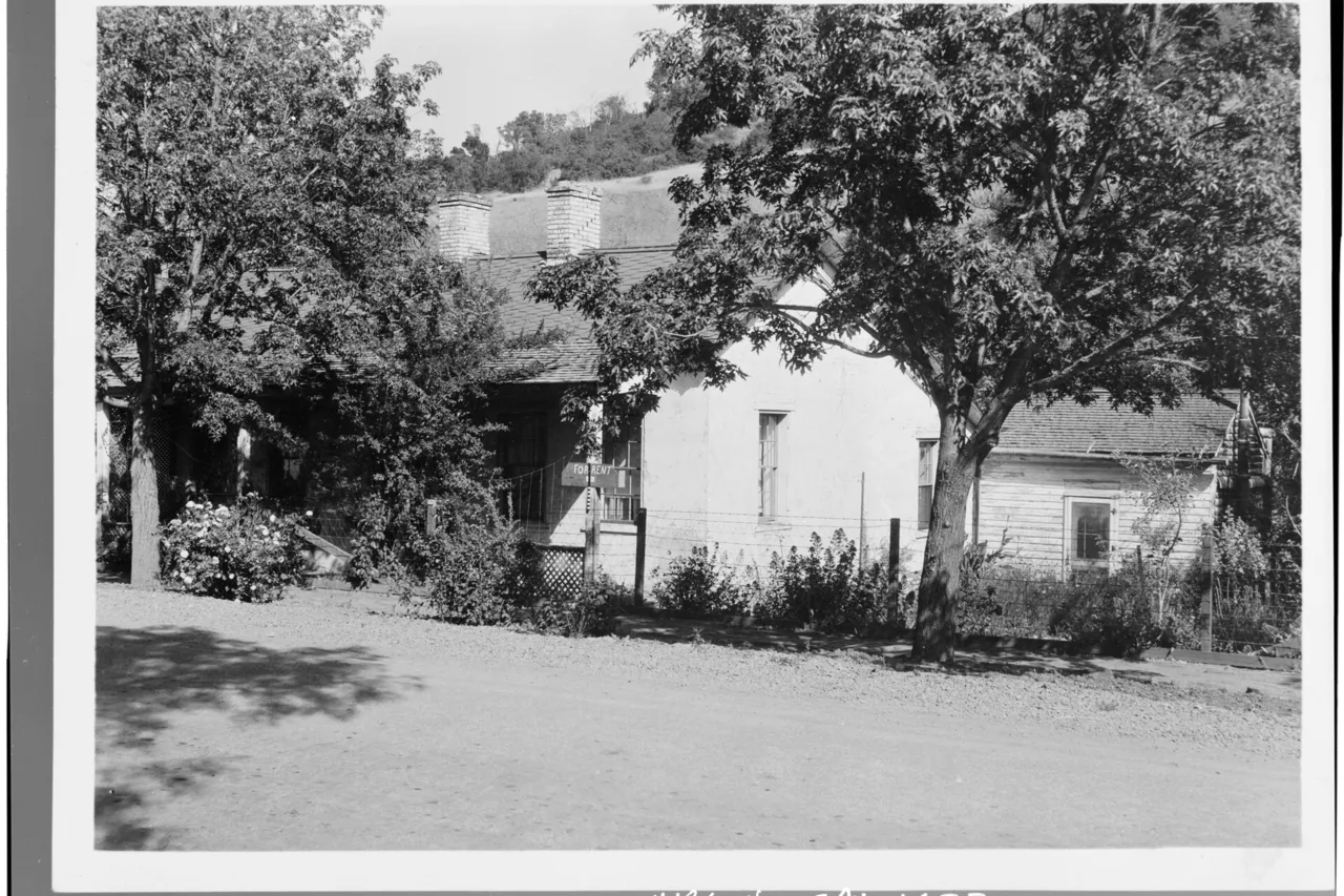
Mining landscape | Santa Clara County
Use the history to choose the right Almaden trailhead.
More than thirty miles of trails cross old mercury-mining country, but the entrances serve different outings. Pick the story and loop before navigating.
Read the trip plan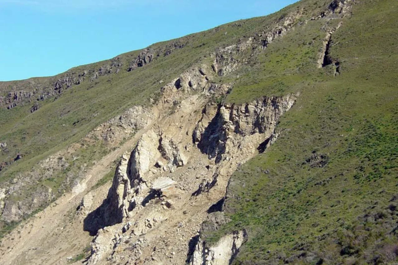
Major Bay Area hike | Alameda County
Use Ohlone College and save your energy for the climb.
Mission Peak is not a casual viewpoint stop. The official route guidance favors the larger Ohlone College access on busy days, while heat and the long climb deserve a real plan.
Read the trip plan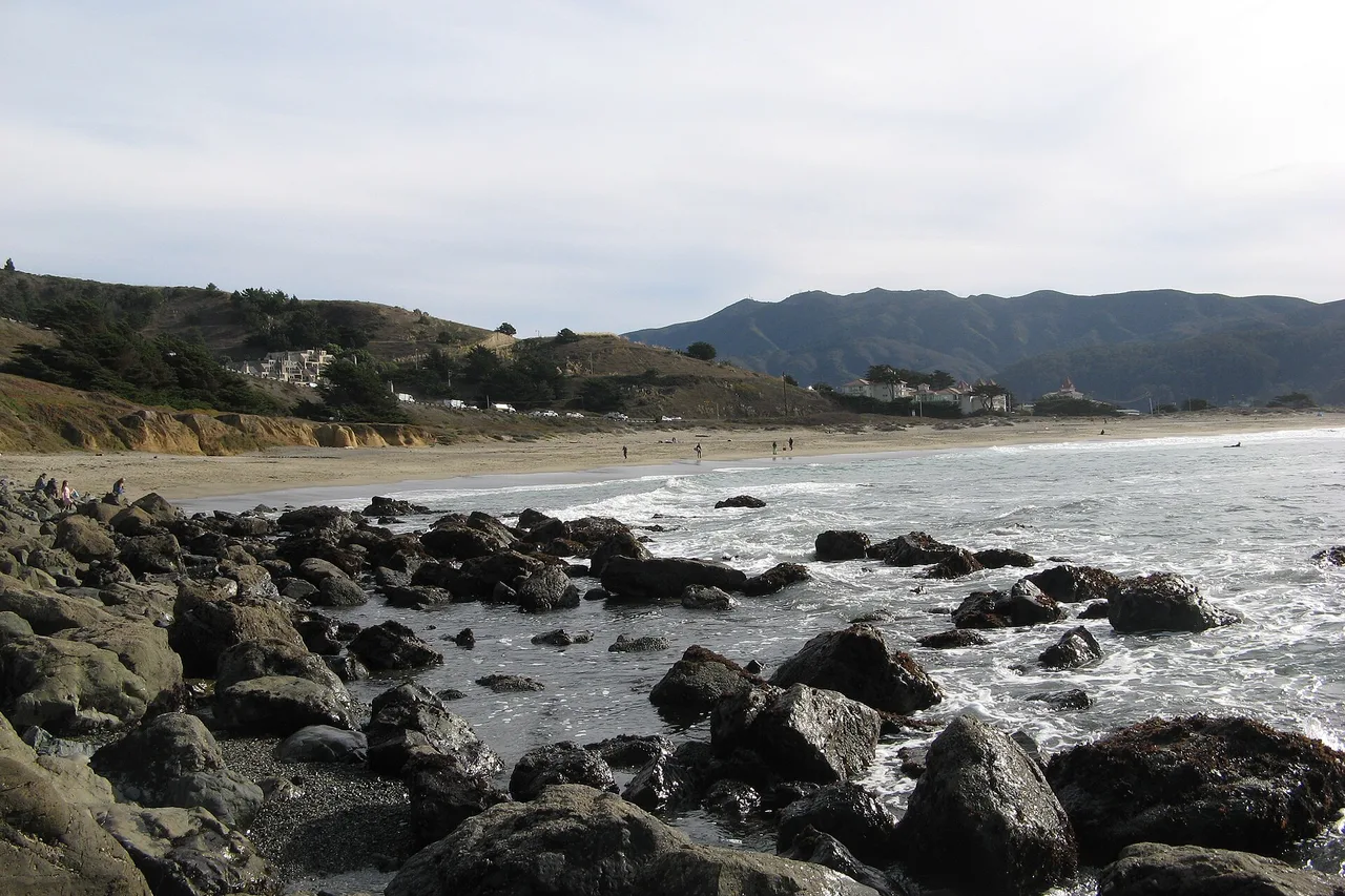
South Bay to Pacifica | San Mateo County
Let Pacifica be a coast reset, not a beach checklist.
Linda Mar, bluff walks and a meal can fill a satisfying day without moving the car constantly. Choose the beach access after checking fog, wind and parking.
Read the trip plan
South Bay to the city | San Francisco
Choose one San Francisco anchor and stop driving.
The Ferry Building and waterfront make a clear first visit when you arrive by car. Park once, use transit or walking and avoid turning the city into a sequence of parking searches.
Read the trip planChoose your starting point
From Palo Alto
5 routesPalo Alto to Half Moon Bay
A slow afternoon in Half Moon Bay.
A beach walk, lunch in town and room to linger: this Palo Alto escape keeps the coast simple instead of turning Highway 1 into a checklist.
Read the trip planPalo Alto to Filoli and Woodside
Filoli gardens and a Woodside lunch.
Turn a short drive from Palo Alto into an unhurried garden day at Filoli, with Woodside as an optional lunch stop on the return.
Read the trip planPalo Alto to Pescadero and Ano Nuevo
Elephant seals and a Pescadero escape.
A full coast day from Palo Alto: protect the seasonal Año Nuevo viewing window, then enjoy Pescadero without packing every beach into the drive.
Read the trip planPalo Alto to Castle Rock Falls
Castle Rock Falls, beyond Skyline.
A mountain hiking day from Palo Alto with Castle Rock Falls as the first objective and Goat Rock as an optional extension. Water flow varies; the forest and ridge views are part of the trip.
Read the trip plan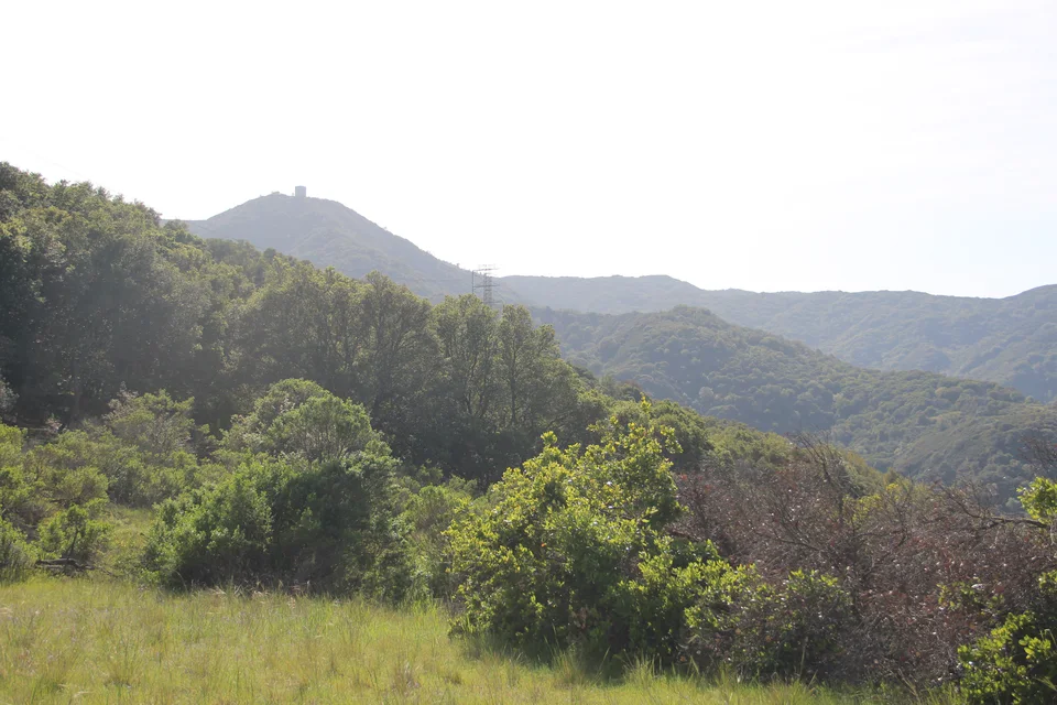
Palo Alto to Mount Umunhum
Mount Umunhum, above the valley.
Make Mount Umunhum the one big destination: drive from Palo Alto to summit parking, enjoy the viewpoints and history, then return with daylight to spare.
Read the trip planChoose your starting point
From Los Angeles
5 routes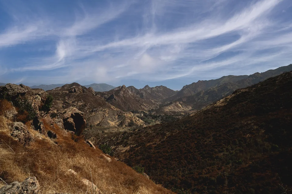
Canyon to coast | Los Angeles County
Walk the canyon first, then let Point Dume end at the ocean.
Malibu Creek and Point Dume make a balanced mountain-to-coast day when the hike gets the cooler morning and the beach remains the flexible second act.
Read the trip plan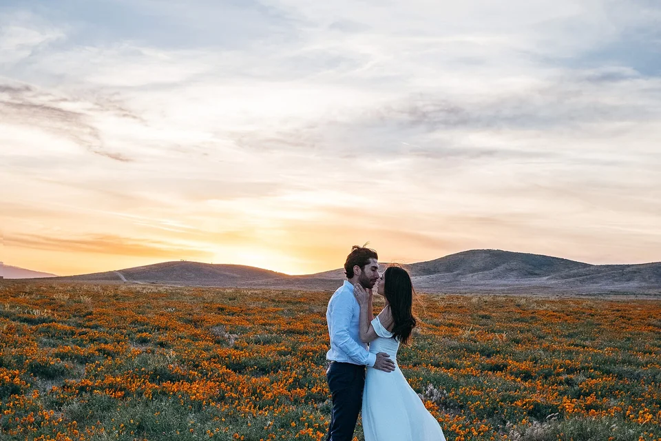
Seasonal color | Antelope Valley
Make the bloom report—not the calendar—the reason to drive.
The poppy reserve is a strong seasonal trip only when current conditions cooperate. A live bloom check, an early arrival and strict trail etiquette matter more than packing extra stops into the day.
Read the trip plan
Coves and coast | Orange County
Give Crystal Cove the morning and Laguna Beach the walkable finish.
This coast day is easiest when one state-park arrival anchors the morning and Laguna Beach becomes a park-once afternoon instead of a string of parking searches.
Read the trip plan
High desert | Riverside and San Bernardino counties
Treat Joshua Tree as one park corridor, not an all-day checklist.
A day trip from Los Angeles works when you choose one entrance-to-exit line, two or three short stops and a hard turnaround before the return drive becomes the hardest part.
Read the trip plan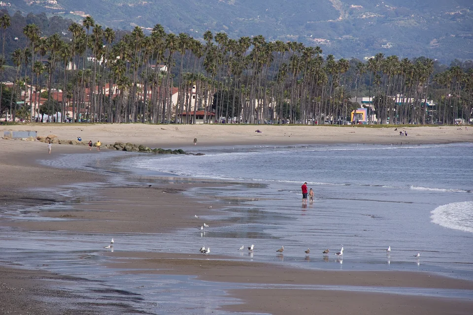
Waterfront and downtown | Santa Barbara County
Park once near the waterfront and let Santa Barbara unfold on foot.
Santa Barbara rewards a simple plan: an early US-101 run, one waterfront parking decision, and a walk that can stretch toward State Street or the courthouse without moving the car repeatedly.
Read the trip planChoose your starting point
From San Diego
5 routes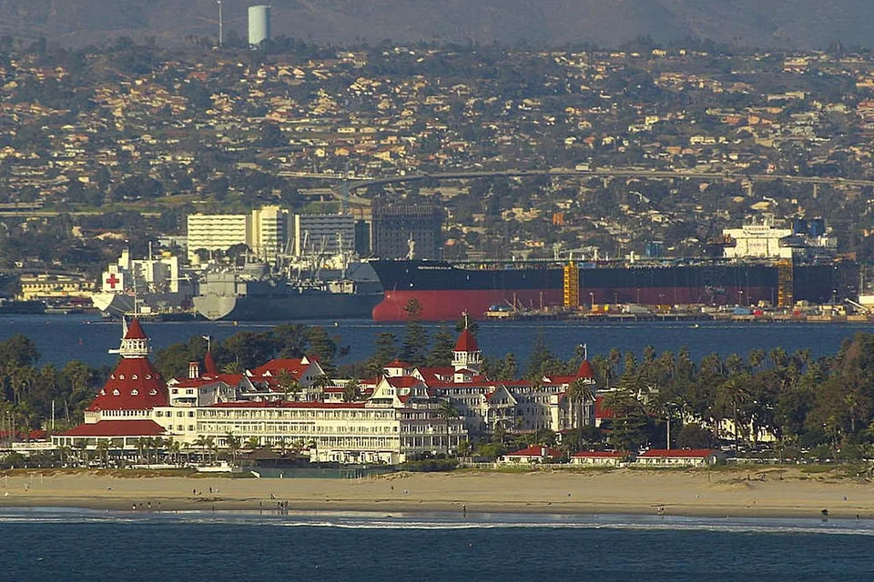
Bay views and history | San Diego
Use Cabrillo's opening hours to shape a compact Point Loma day.
Cabrillo combines city-scale driving with national-park planning: arrive early, choose the lighthouse or coastal trail first, and use the tide chart only when conditions make tidepools worthwhile.
Read the trip plan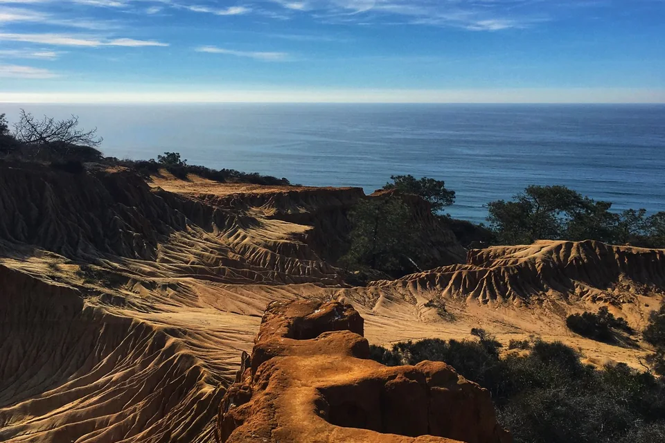
Cliffs and coves | San Diego County
Hike Torrey Pines early, then slow down in La Jolla.
The reserve deserves the cool, quiet part of the day. La Jolla works best afterward as a flexible coastal walk rather than a second fixed parking deadline.
Read the trip plan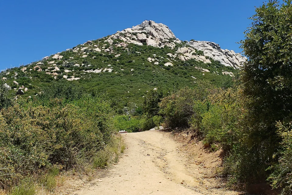
Mountain town | San Diego County
Walk Cuyamaca first, then let Julian be the warm finish.
The cleanest mountain day gives the trail the cooler morning and treats Julian as a compact food-and-history stop on the return, not a reason to move the car repeatedly.
Read the trip plan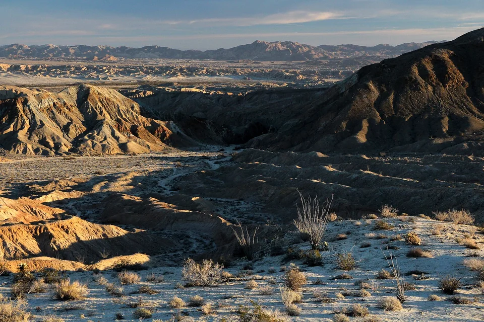
Desert scale | San Diego County
Let Borrego Springs be the base, not the beginning of a dirt-road gamble.
Anza-Borrego is vast. A safe day trip uses the visitor center, one signed scenic area and a heat-aware turnaround instead of treating every map line as a passenger-car route.
Read the trip plan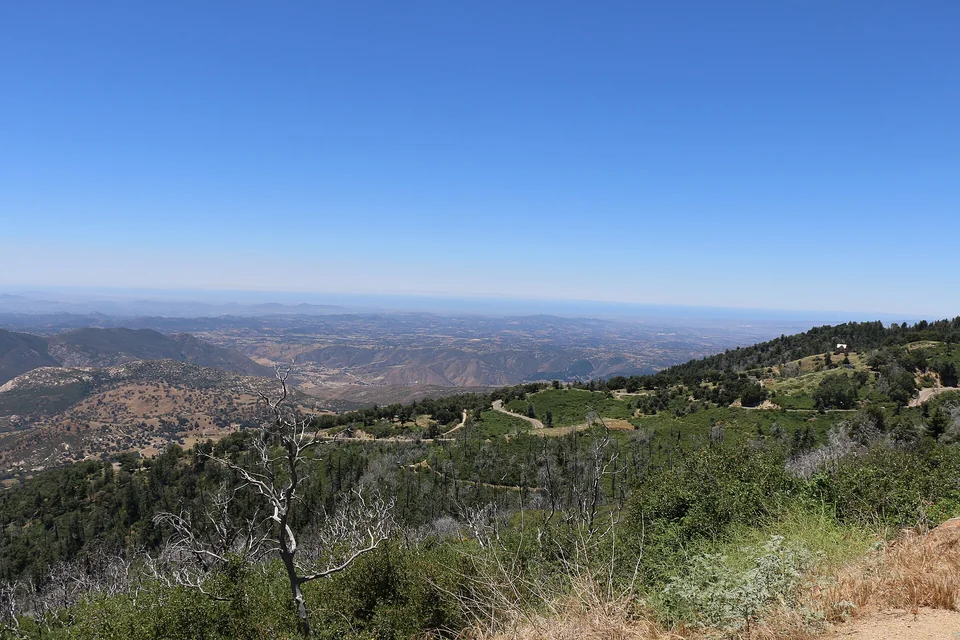
Forest and overlooks | San Diego County
Climb Palomar with one forest plan and an unhurried descent.
Palomar feels far from the coast because the final road does the work. Keep the mountain itinerary compact, confirm observatory access separately and leave enough daylight for the descent.
Read the trip planChoose your starting point
From Sacramento
5 routes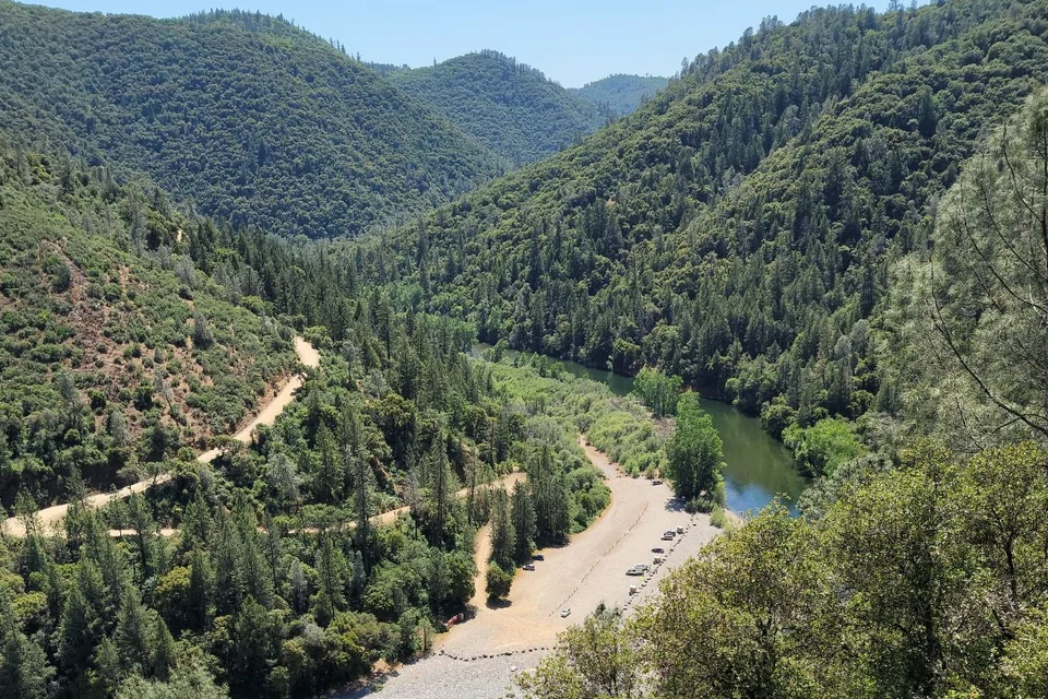
River canyon | Placer County
Use the canyon for the morning and Old Town Auburn for the reset.
Auburn is close enough for a flexible day but complex enough to reward one chosen trailhead. Decide the river access first, then use the historic center as an easy second stop.
Read the trip plan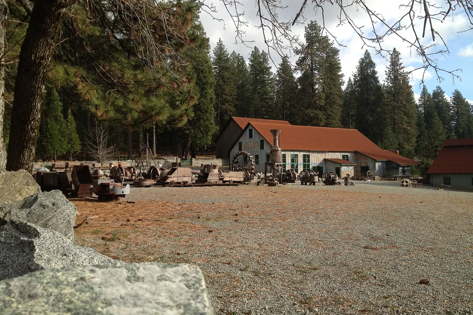
Gold Country history | Nevada County
See the mine first, then give Nevada City the afternoon.
Empire Mine supplies the historical anchor; Nevada City provides the food and walkable finish. Keeping that order protects museum hours and avoids moving the car more than necessary.
Read the trip plan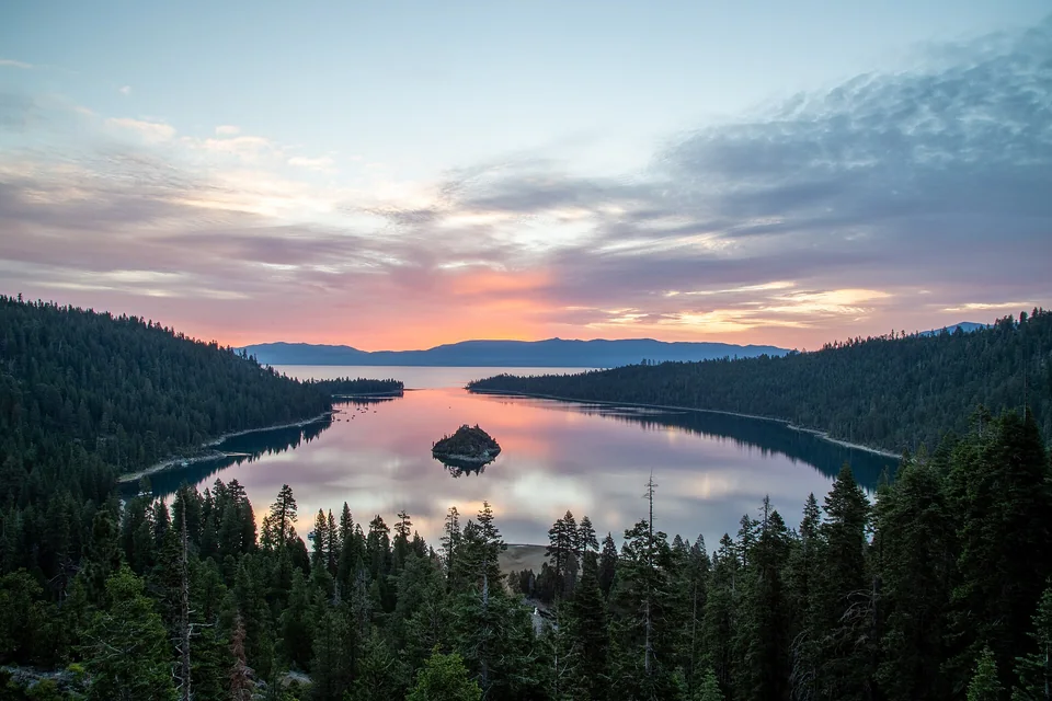
Sierra lake | El Dorado County
Make Emerald Bay the one big view and keep Tahoe deliberately small.
This is a long day trip, not a complete Lake Tahoe tour. One Emerald Bay objective, one meal stop and a weather-aware return create a better day than circling the entire lake.
Read the trip plan
Downtown and Delta | San Joaquin County
Park in Lodi, slow the day down, and add the Delta only with purpose.
Lodi works as a low-friction day trip when downtown is the anchor. A Delta drive or tasting appointment can be the second act, but it should not turn the day into a chain of car-dependent stops.
Read the trip plan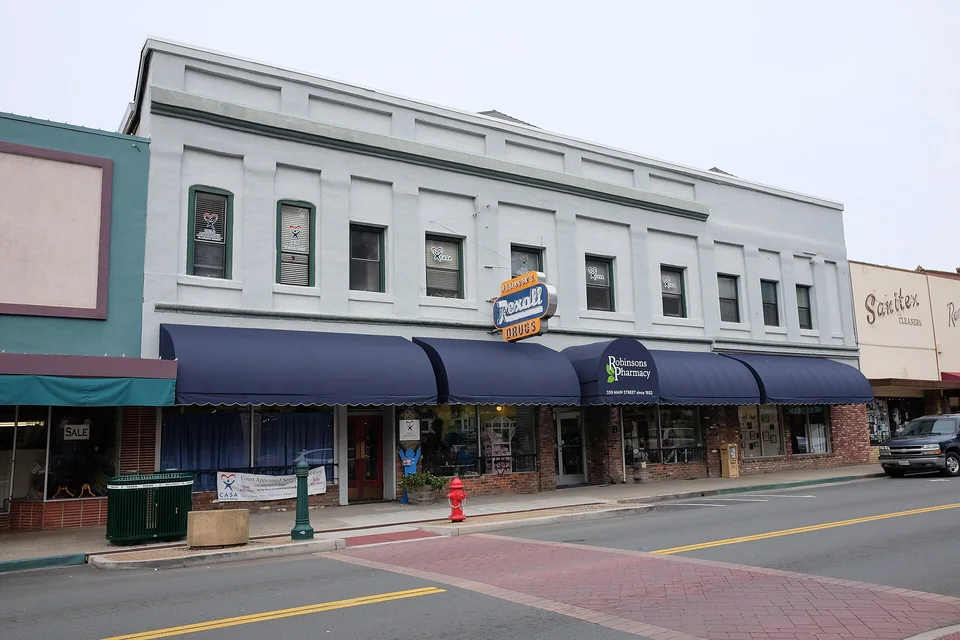
Foothill harvest | El Dorado County
Walk Placerville first, then choose one Apple Hill stop.
The foothill day stays enjoyable when historic Main Street anchors the morning and one preselected farm or orchard handles the seasonal afternoon without endless parking lines.
Read the trip planChoose your starting point
From Fresno
5 routes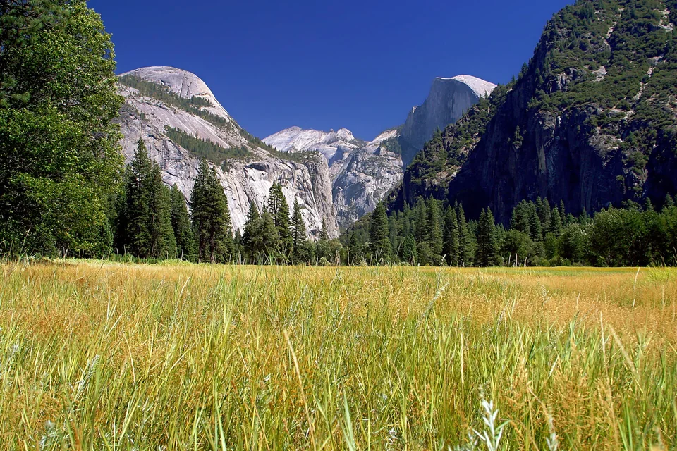
Granite valley | Mariposa County
Arrive early enough to stop driving once you reach Yosemite Valley.
A Fresno day trip works when the valley itself is the destination. Enter early, park once when possible, and use walking or the current park transportation plan instead of hunting for viewpoints by car.
Read the trip plan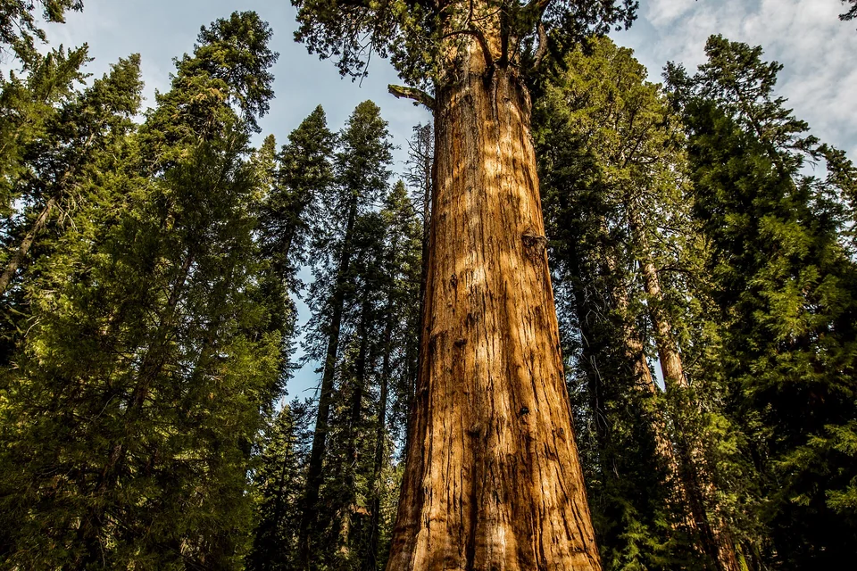
Giant Forest | Tulare County
Make Giant Forest the goal and respect the road that reaches it.
General Sherman is only part of this day: the steep Generals Highway, elevation change and parking system require more planning than the short walks among the trees.
Read the trip plan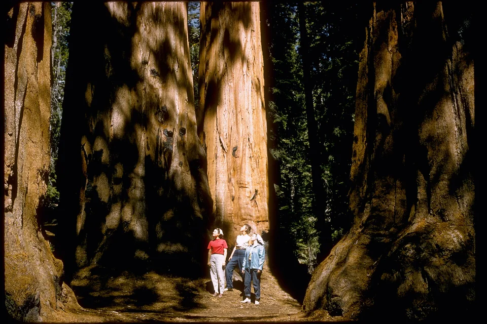
Grant Grove | Fresno County
Let Grant Grove be enough—and add the canyon only when the road is open.
Grant Grove is a strong day trip on its own. Cedar Grove is a much longer, seasonal extension, so the current road status and available daylight should make that decision.
Read the trip plan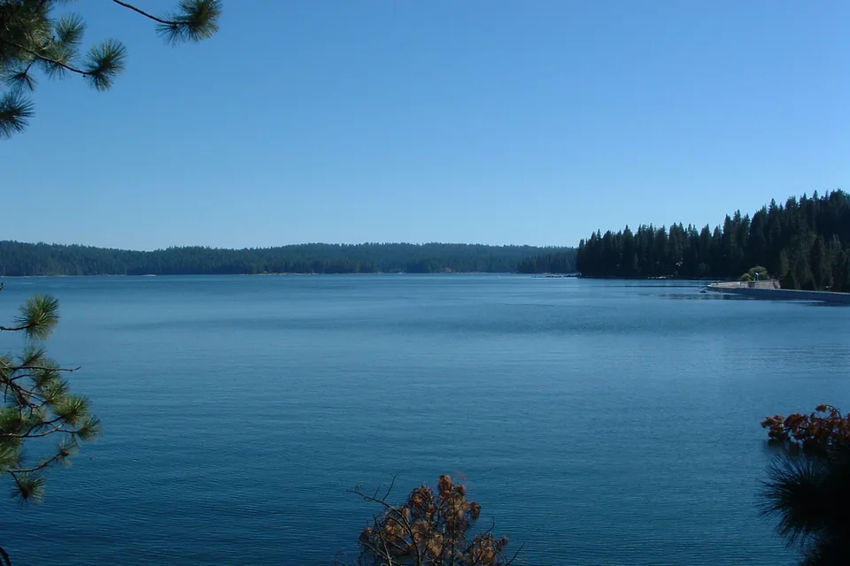
Sierra lake | Fresno County
Choose one side of Shaver Lake and keep the mountain day simple.
Shaver Lake is close enough for a relaxed escape, but the final climb and spread-out shoreline reward one chosen recreation area instead of repeated searching from the car.
Read the trip plan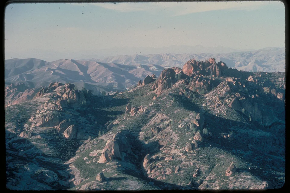
Rock spires | San Benito County
Choose the east entrance, start early and let one trail define Pinnacles.
The park's east and west roads do not connect. From Fresno, a successful day depends on selecting the east entrance, checking cave status and hiking before the exposed landscape heats up.
Read the trip planChoose your starting point
From Santa Barbara
5 routes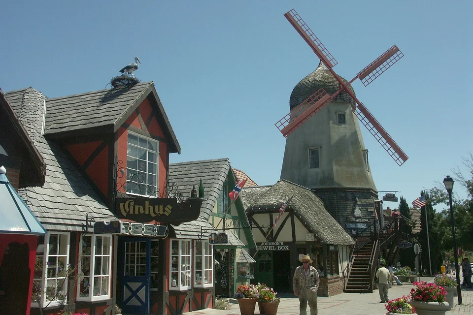
Valley town | Santa Barbara County
Walk Solvang first, then choose one Santa Ynez Valley extra.
Solvang is compact enough to reward parking once. A mission, museum, meal or reserved tasting can follow, but the day works best when the second stop is chosen before the drive.
Read the trip plan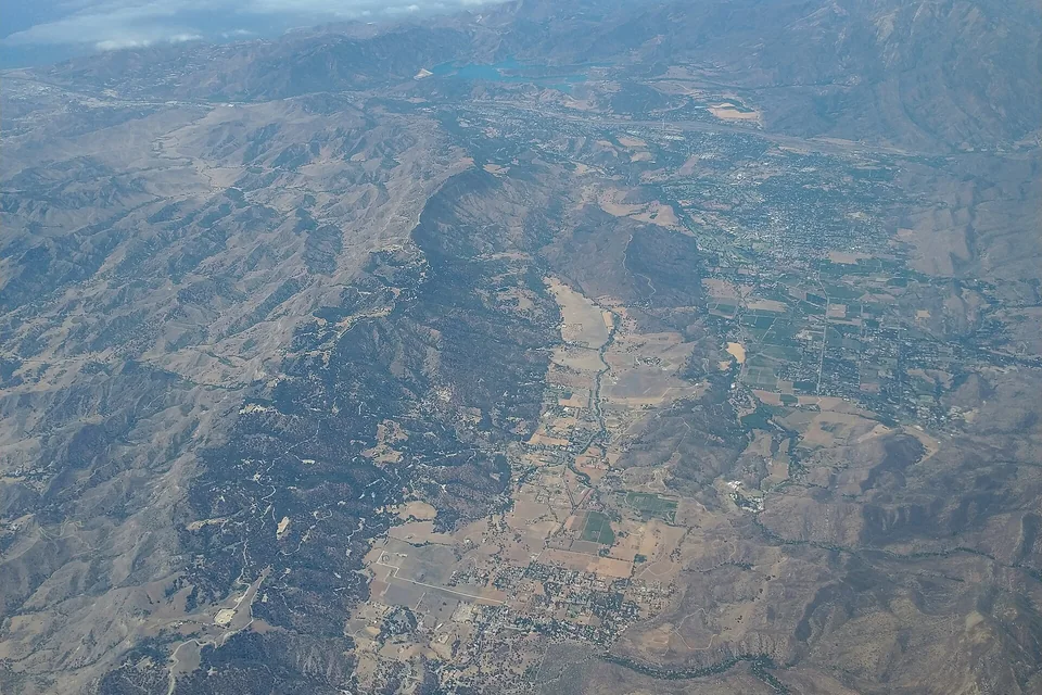
Valley reset | Ventura County
Give Ojai one walkable center and one quiet second act.
The short drive can feel like a real change of landscape. Park near downtown, choose one garden, trail or cultural stop, and avoid turning a relaxed valley day into constant relocation.
Read the trip plan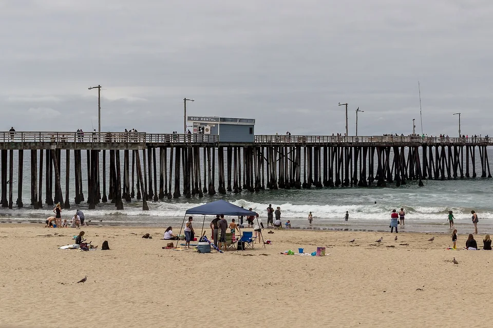
Central Coast | San Luis Obispo County
Put the beach first and save San Luis Obispo for the walkable afternoon.
This northbound coast day works when Pismo supplies the ocean time and downtown San Luis Obispo becomes the compact meal-and-walk stop before the return.
Read the trip plan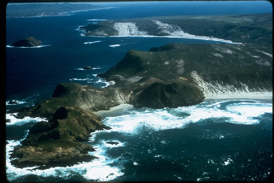
Ferry day | Ventura County
Treat the ferry as the appointment and the drive as support.
The island is the experience; Ventura Harbor is the transfer. Book the sailing first, protect the check-in buffer and solve fuel before parking so the road never threatens the boat.
Read the trip plan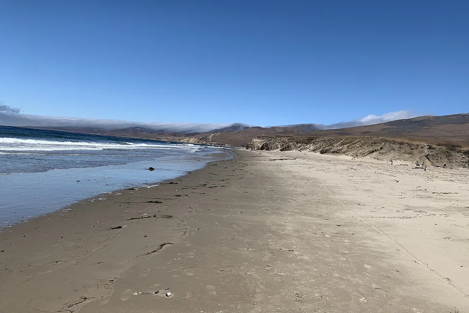
Remote coast | Santa Barbara County
Go to Jalama for the quiet—and prepare for the road that creates it.
Jalama feels remote because the final county road is long and isolated. Make the beach the only major objective, carry what you need and begin the last leg with fuel and daylight.
Read the trip planChoose your starting point
From Palm Springs
5 routesHigh desert | Riverside County
Cross one Joshua Tree corridor instead of doubling back across the desert.
Palm Springs is close enough for a focused park day, but the entrances are far apart. Choose the route before departure, keep the stops selective and leave the park with daylight and reserve fuel.
Read the trip plan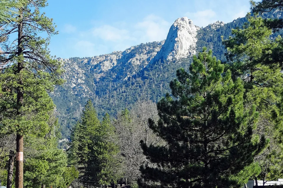
Mountain escape | Riverside County
Trade desert heat for a deliberate mountain loop to Idyllwild.
The climb changes elevation and conditions quickly. Make the village and one nearby walk the center of the day, then choose the return road by current weather rather than by a scenic-map promise.
Read the trip plan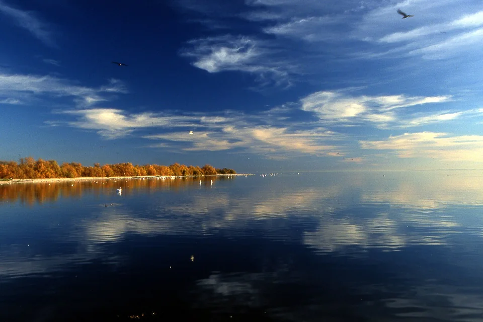
Desert shoreline | Riverside and Imperial counties
Visit the Salton Sea as a landscape study, not a conventional beach day.
The shoreline is compelling and environmentally complex. A good visit is short, heat-aware and anchored by an official access point, with optional nearby stops chosen only after current conditions are checked.
Read the trip planDesert basin | San Diego County
Use Borrego Springs as the anchor for one safe Anza-Borrego objective.
The route from Palm Springs is long enough that discipline matters: check the roads, arrive with reserve fuel, orient in town and choose one signed desert experience appropriate to the weather and vehicle.
Read the trip plan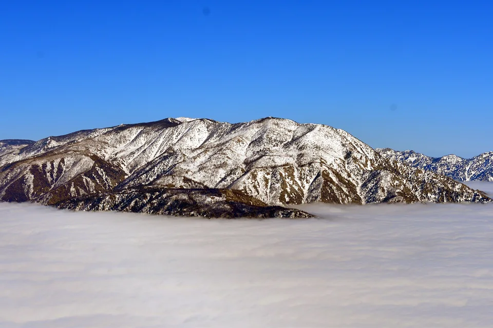
Alpine lake | San Bernardino County
Make Big Bear a mountain day, not a race around every shoreline stop.
This is a substantial climb from the desert. Choose one lakefront or village objective, check mountain conditions immediately before departure and keep enough daylight and fuel for the descent.
Read the trip plan