

Forest and overlooks | San Diego County
Climb Palomar with one forest plan and an unhurried descent.
Palomar feels far from the coast because the final road does the work. Keep the mountain itinerary compact, confirm observatory access separately and leave enough daylight for the descent.
Plan this drive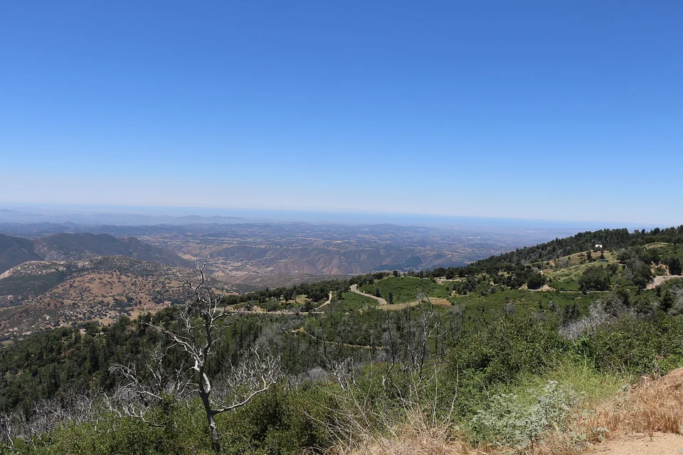
- Time
- Full day
- Best for
- Forest walking, overlooks and a scenic mountain drive
- Road character
- I-15, Highway 76 and South Grade Road
A flexible plan
How to spend the day
- 01Fuel
Complete supplies before the mountain turn
Use the inland corridor for fuel, food and water while choices are still broad.
- 02Climb
Take the grade at a patient pace
Use turnouts responsibly and expect cyclists, motorcycles and sharp curves.
- 03Explore
Choose the state park or observatory as the anchor
Each can fill the main part of the day; combining both depends on current hours and group energy.
- 04Descend
Leave margin before dusk or weather
A calm downhill drive matters more than squeezing in one last viewpoint.
Fuel strategy
Fill in Escondido or along Highway 76
The I-15 and Escondido corridor provides the strongest comparison before Palomar's limited mountain services. Begin the climb with enough reserve to return even if the preferred road changes.
I-15 corridor
Broad price choice with minimal detour.
Escondido
Natural supply and fuel stop before Highway 76.
Mountain communities
Treat as contingency coverage, not the price-shopping plan.
Before leaving, compare San Diego gas-price coverage with San Diego and Imperial benchmarks. These averages provide context; use the route calculation to choose a stop.
Compare fuel stops for this routeBefore you leave
Practical notes
- Check state-park and observatory hours independently; they are separate destinations.
- South Grade Road is winding and requires patient driving.
- Mountain weather can bring fog, snow or ice while San Diego remains mild.
- Cell service and food options are limited at elevation.
Official information
Check the current details
Conditions, reservations and closures can change. These first-party sources should be your final check before departure.
Quick answers
What drivers usually ask
Is this a realistic day trip from San Diego?
Yes, if you protect the main stop and use the full day plan described here. Check live road, weather and admission information before departure.
Where should I compare fuel for this drive?
The I-15 and Escondido corridor provides the strongest comparison before Palomar's limited mountain services. Begin the climb with enough reserve to return even if the preferred road changes.
See all image sources and licenses.