

Summit drive · Contra Costa County
Save the summit for the view, not a low-fuel warning.
Mount Diablo turns a short East Bay distance into a real mountain drive. Choose the entrance before departure, respect cyclists and arrive early enough to descend before the gates close.
Plan this drive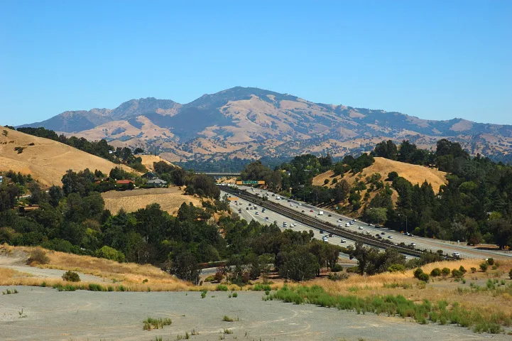
- Time
- Half day to full day
- Best for
- Panoramas, geology and a mountain drive
- Road character
- Freeway, foothills and narrow summit road
A flexible plan
How to spend the day
- 01Choose a gate
Commit to North Gate or South Gate
North Gate is natural from Walnut Creek; South Gate fits Danville. Entering the wrong side can add local driving before the climb.
- 02Climb
Share the road patiently
The park identifies many bicycle turnouts along its mountain roads. Expect cyclists, tight bends and slow vehicles rather than treating the ascent as a time trial.
- 03Summit
Use the visitor center as the anchor
The summit area combines the central view with geology and history. Build in time to look rather than arriving just before the descent deadline.
- 04Descend
Leave before sunset pressure
Park gates close at sunset. Start down while there is still comfortable light and enough time for traffic, wildlife or a slower vehicle.
Fuel strategy
Refuel before the gate
The summit road adds sustained climbing and few chances to change the plan. Compare Oakland and the Highway 24 corridor with Walnut Creek, Concord or Danville, depending on the chosen entrance. The right-side station near the gate often beats a cheaper cross-town detour.
Highway 24 corridor
A broad early comparison for trips coming from Oakland or Berkeley.
Walnut Creek or Concord
The natural final comparison for North Gate Road.
Danville
The natural final comparison for South Gate Road.
Before leaving, compare Oakland gas-price coverage with San Francisco Bay Area benchmarks. These averages provide context; use the route calculation to choose a stop.
Compare fuel stops for this routeBefore you leave
Practical notes
- Gates open at 8 a.m. and close at sunset; official hours can change.
- Summer heat can be severe and shade is limited on many trails.
- Carry water and do not rely on the summit for every supply.
- Confirm the entrance address because the staging areas do not all provide summit vehicle access.
Official information
Check the current details
Conditions, reservations and closures can change. These first-party sources should be your final check before departure.
Quick answers
What drivers usually ask
Which entrance is better from Oakland?
North Gate via Walnut Creek is often the straightforward choice, but traffic and your East Bay starting point can make South Gate competitive. Set the exact entrance as the destination.
Can I refuel inside Mount Diablo State Park?
Plan as if you cannot. Compare and stop before entering the park, with enough range for the climb, descent and an unexpected delay.
See all image sources and licenses.