

Palo Alto to Mount Umunhum
Mount Umunhum, above the valley.
Make Mount Umunhum the one big destination: drive from Palo Alto to summit parking, enjoy the viewpoints and history, then return with daylight to spare.
Plan this drive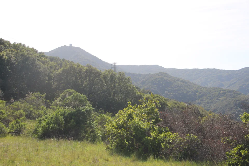
- Time
- Half to full day
- Best for
- Panoramic views, mountain history and a short summit walk
- Road character
- South Bay approach, Hicks Road and Mount Umunhum Road
A flexible plan
How to spend the day
- 01Check
Choose a day for the view
Check Midpen road notices and the mountain forecast before leaving. If the summit is in cloud, choose another outing rather than counting on a clear panorama.
- 02Drive
Use the signed summit parking area
Follow the official Hicks Road approach onto Mount Umunhum Road. Drive patiently through the bends and use designated parking; the summit is the destination, not a through route.
- 03Explore
Walk the summit paths and read the landscape
Make time for the viewpoints and interpretive displays about Indigenous history and the former radar station. Keep the visit on public paths and respect the ceremonial space.
- 04Alternative
Choose a hiking day instead of a second destination
For a longer outing, start at Bald Mountain and hike the Mount Umunhum Trail. It is about 3.9 miles each way, so this replaces the short summit visit rather than being an easy extra.
Fuel strategy
Make the fuel stop fit the outing
Compare fuel near Palo Alto or along the South Bay approach before Hicks Road. Arrive with enough fuel or charge for the climb and descent; do not assume summit services.
Palo Alto
Start with enough range for the day.
South San Jose approach
Use an on-route stop before the mountain road.
Summit visit
Plan the climb with reserve range; any refill belongs on the urban approach.
Before you leave
Practical notes
- The Mount Umunhum area opens at 7 a.m. and closes half an hour after sunset; its entrance gate closes at sunset. Recheck current notices.
- Dogs are not allowed on Mount Umunhum Road, in its parking areas or at the summit, including dogs in cars; check Midpen’s service-animal policy if applicable.
- Bring your own water and a wind layer. Download directions and the trail map before climbing.
- The summit-path visit and the longer trail from Bald Mountain are different plans; select one that fits your group.
Official information
Check the current details
Conditions, reservations and closures can change. These first-party sources should be your final check before departure.
Quick answers
What drivers usually ask
Do I have to hike all the way up?
No. When the road is open, drive to summit parking for the shorter visit. Check official accessible-parking and pathway information for mobility needs.
Can I combine this with Castle Rock Falls?
Give each its own day. They use different mountain approaches, and combining them leaves less time for walking and a relaxed return.
See all image sources and licenses.