

Palo Alto to Castle Rock Falls
Castle Rock Falls, beyond Skyline.
A mountain hiking day from Palo Alto with Castle Rock Falls as the first objective and Goat Rock as an optional extension. Water flow varies; the forest and ridge views are part of the trip.
Plan this drive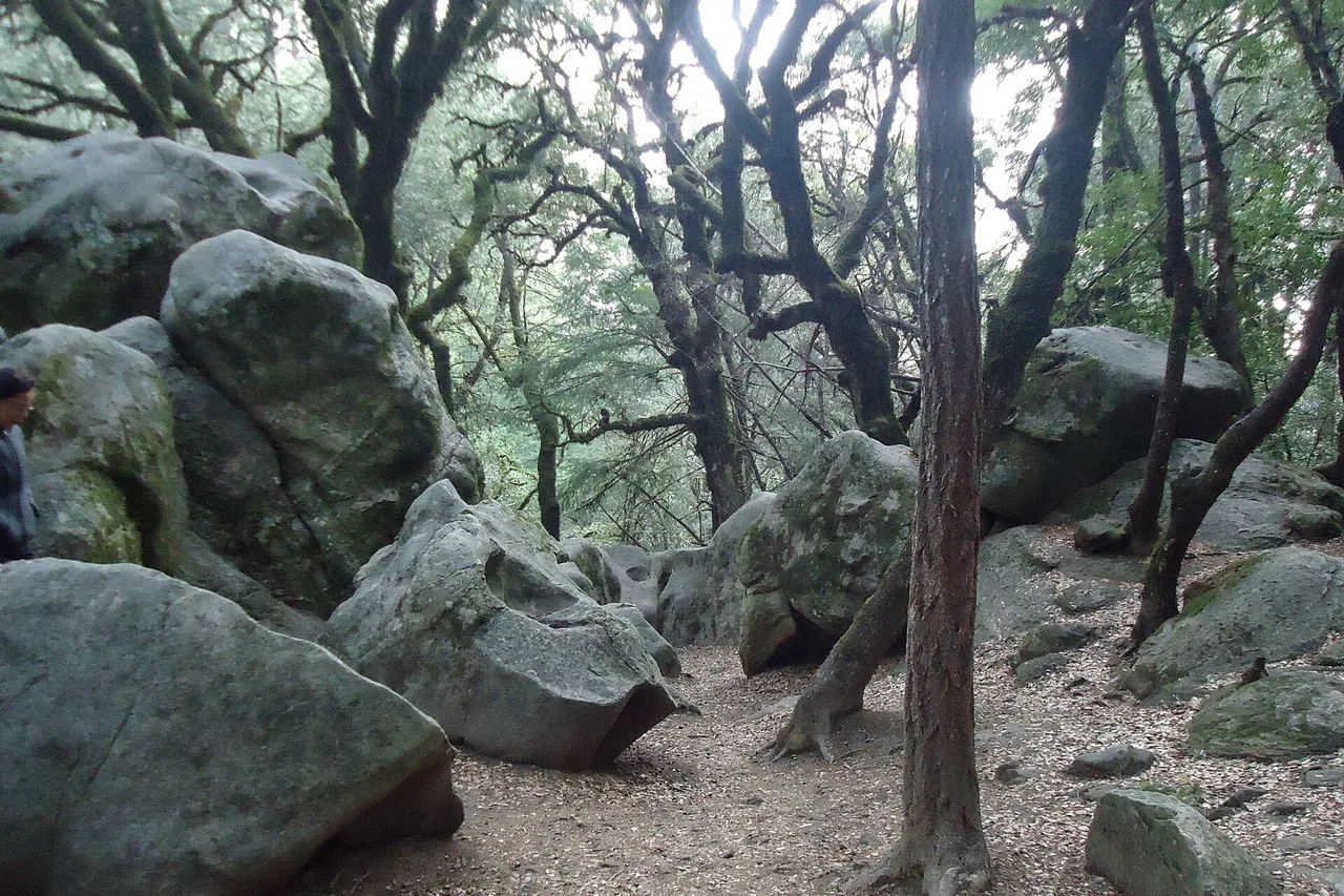
- Time
- Half to full day
- Best for
- A woodland hike, sandstone formations and ridge views
- Road character
- Page Mill Road and Skyline Boulevard, conditions permitting
A flexible plan
How to spend the day
- 01Drive
Aim for the Kirkwood entrance
Use the official entrance and current road directions. Page Mill and Skyline are winding mountain roads; leave room for cyclists, fog and slower travel.
- 02First objective
Walk to the Castle Rock Falls overlook
Use the current park map to reach the designated overlook. This is a trail destination, not a roadside waterfall or a route to the base of the falls.
- 03Choose your day
Return early or extend toward Goat Rock
A shorter out-and-back suits a relaxed visit. Stronger walkers can choose a longer signed loop after checking distance, daylight and trail conditions at the entrance.
- 04Finish
Save energy for the drive down
Pause for a packed lunch where permitted, then return before everyone is tired. Avoid adding another summit merely because it looks close on a map.
Fuel strategy
Make the fuel stop fit the outing
Compare fuel in Palo Alto before climbing Page Mill Road. Leave enough range for the winding return rather than treating Skyline as a fuel-shopping corridor.
Palo Alto
The convenient place to compare before climbing.
Peninsula return
Refill after descending if it fits your normal route.
Skyline and trailhead
Do not depend on a mountain fuel stop; complete the range check before climbing.
Before you leave
Practical notes
- Flow depends on conditions and may be low in the dry season; no waterfall flow is guaranteed.
- Check trail closures, entrance hours and parking fees on the official park page.
- Download the trail map before departure; mobile reception is unreliable.
- Stay on marked trails and the viewing platform. Do not climb wet sandstone.
- Dogs are prohibited except service animals.
Official information
Check the current details
Conditions, reservations and closures can change. These first-party sources should be your final check before departure.
Quick answers
What drivers usually ask
Is Castle Rock Falls a separate driving destination?
No. Park at an official Castle Rock entrance and hike to the overlook using the park map.
Is it still worth going when water is low?
If you enjoy sandstone and forest walks, yes. If a flowing waterfall is essential, check conditions before choosing this trip.
See all image sources and licenses.