

Canyon to coast | Los Angeles County
Walk the canyon first, then let Point Dume end at the ocean.
Malibu Creek and Point Dume make a balanced mountain-to-coast day when the hike gets the cooler morning and the beach remains the flexible second act.
Plan this drive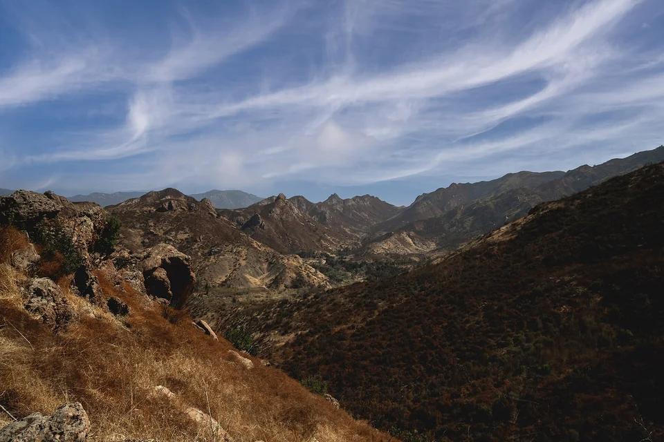
- Time
- Full day
- Best for
- A short hike, coastal views and a varied landscape
- Road character
- US-101, Malibu Canyon Road and Pacific Coast Highway
A flexible plan
How to spend the day
- 01Start early
Reach Malibu Creek before the heat and parking pressure
Choose one trail objective near the main day-use area and keep enough time for the coastal half of the trip.
- 02Walk
Make the canyon the active part of the day
A focused out-and-back is more useful than chasing several trailheads across the park.
- 03Coast
Continue to Point Dume for the afternoon
Use the headland or beach as a slower finish, subject to current parking and access conditions.
- 04Return
Pick US-101 or the coast by live traffic
The scenic option is not always the calm option; decide before fatigue and evening congestion build.
Fuel strategy
Compare before Malibu Canyon narrows the choices
Compare stations near the US-101 corridor with Calabasas or Agoura Hills before entering the canyon. Coastal searching can add slow local miles that erase a modest pump-price advantage.
Central Los Angeles
Useful only if the tank is already low before the freeway.
Calabasas and Agoura Hills
The strongest route-adjacent comparison before the park.
Malibu coast
Treat as the experience zone, not the default place to shop for fuel.
Before leaving, compare Los Angeles gas-price coverage with Greater Los Angeles benchmarks. These averages provide context; use the route calculation to choose a stop.
Compare fuel stops for this routeBefore you leave
Practical notes
- Check both Malibu Creek and Point Dume notices because fire, surf and parking conditions are independent.
- Carry water and sun protection; canyon heat can be very different from coastal weather.
- Do not leave valuables visible at trailhead or beach parking.
- Use signed pullouts only and never stop in a Pacific Coast Highway travel lane.
Official information
Check the current details
Conditions, reservations and closures can change. These first-party sources should be your final check before departure.
Quick answers
What drivers usually ask
Is this a realistic day trip from Los Angeles?
Yes, if you protect the main stop and use the full day plan described here. Check live road, weather and admission information before departure.
Where should I compare fuel for this drive?
Compare stations near the US-101 corridor with Calabasas or Agoura Hills before entering the canyon. Coastal searching can add slow local miles that erase a modest pump-price advantage.
See all image sources and licenses.