

Rock spires | San Benito County
Choose the east entrance, start early and let one trail define Pinnacles.
The park's east and west roads do not connect. From Fresno, a successful day depends on selecting the east entrance, checking cave status and hiking before the exposed landscape heats up.
Plan this drive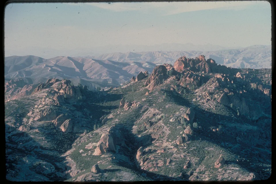
- Time
- Long full day
- Best for
- Rock formations, condor country and a focused hike
- Road character
- Highway 99, Highway 152 and rural Highway 25
A flexible plan
How to spend the day
- 01Route
Set the east entrance explicitly
The two sides of Pinnacles do not connect by road, so a generic park destination can create a major mistake.
- 02Arrive
Start the trail before heat and parking pressure
Choose a loop that fits daylight, cave access and the group's actual pace.
- 03Check
Treat cave status as a live condition
Closures protect wildlife and respond to weather; never build the entire day around assumed access.
- 04Return
Refuel and reset before the long valley drive
Use Hollister or the main corridor for a proper break before heading back to Fresno.
Fuel strategy
Fuel before the rural Highway 25 approach
Compare the Highway 152 corridor, Gilroy or Hollister before continuing south. The park entrance is not a dependable fuel corridor, and crossing to the west side by road requires a major detour.
Los Banos corridor
Useful mid-route choice from Fresno.
Gilroy and Hollister
The strongest final broad comparison.
Paicines approach
Arrive with reserve; services thin quickly.
Before leaving, compare Fresno gas-price coverage with San Joaquin Valley benchmarks. These averages provide context; use the route calculation to choose a stop.
Compare fuel stops for this routeBefore you leave
Practical notes
- Navigate specifically to the east entrance; there is no road through the park to the west entrance.
- Check cave status and trail advisories on the official site.
- Summer heat can make exposed trails dangerous by midday.
- Carry water and do not count on mobile service near the park.
Official information
Check the current details
Conditions, reservations and closures can change. These first-party sources should be your final check before departure.
Quick answers
What drivers usually ask
Is this a realistic day trip from Fresno?
Yes, if you protect the main stop and use the long full day plan described here. Check live road, weather and admission information before departure.
Where should I compare fuel for this drive?
Compare the Highway 152 corridor, Gilroy or Hollister before continuing south. The park entrance is not a dependable fuel corridor, and crossing to the west side by road requires a major detour.
See all image sources and licenses.