

Creek and open hills | Alameda County
Reach Sunol prepared, then choose the hike by the heat.
Sunol feels much farther from Oakland than the map suggests. The useful plan solves water, fuel and trail ambition before Calaveras Road narrows.
Plan this drive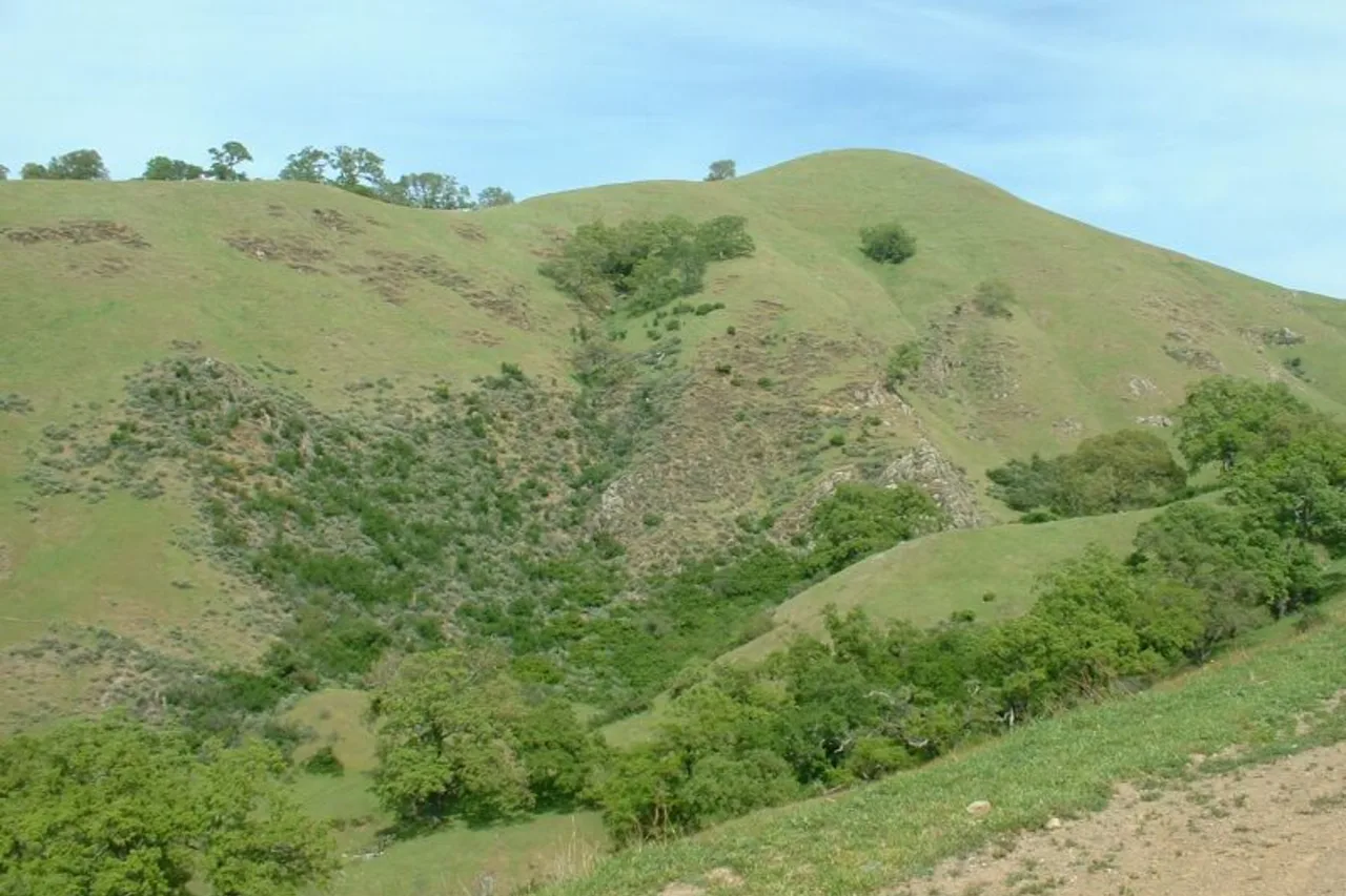
- Time
- Full day
- Best for
- Hiking, spring wildflowers and quiet valleys
- Road character
- I-880 or I-580 to I-680, then Calaveras Road
A flexible plan
How to spend the day
- 01Prepare
Fill water before the preserve
The park warns that drinking water is not available. Treat hydration as a departure requirement, not something to solve after parking.
- 02Arrive
Use the visitor center area for orientation
Check posted conditions and choose the trail only after seeing the temperature, creek conditions and how the group feels.
- 03Hike
Keep summer mileage conservative
Open hills amplify heat and shade can be limited. A shorter creek-area walk can be the right trip when conditions do not support a ridge objective.
- 04Return
Leave energy for Calaveras Road
The final road needs attention in both directions. Finish the hike with enough daylight and focus for the drive out.
Fuel strategy
Fremont and Pleasanton are the last broad comparisons
Choose the fuel zone that matches your actual freeway approach, then arrive in Sunol with a reserve. A low price on the wrong side of I-680 can add more time than it saves.
Fremont corridor
Natural for I-880 approaches from Oakland.
Pleasanton and Sunol
Useful for I-580 and I-680 approaches.
Calaveras Road
Rural final segment with no dependable fuel-shopping flexibility.
Before leaving, compare Oakland gas-price coverage with San Francisco Bay Area benchmarks. These averages provide context; use the route calculation to choose a stop.
Compare fuel stops for this routeBefore you leave
Practical notes
- Bring all drinking water; the park currently advises that potable water is unavailable.
- Weekend and holiday parking fees may apply.
- Summer heat can be dangerous on exposed trails; start early and shorten the plan.
- Cattle may be present, so follow posted trail and dog guidance.
Official information
Check the current details
Conditions, reservations and closures can change. These first-party sources should be your final check before departure.
Quick answers
What drivers usually ask
Is there drinking water at Sunol Wilderness?
Do not rely on it. The official park page currently tells visitors to bring their own drinking water.
Which fuel corridor is best?
Fremont for an I-880 approach, or Pleasanton and Sunol for I-580/I-680. Let the route decide.
See all image sources and licenses.