

Sierra lake | El Dorado County
Make Emerald Bay the one big view and keep Tahoe deliberately small.
This is a long day trip, not a complete Lake Tahoe tour. One Emerald Bay objective, one meal stop and a weather-aware return create a better day than circling the entire lake.
Plan this drive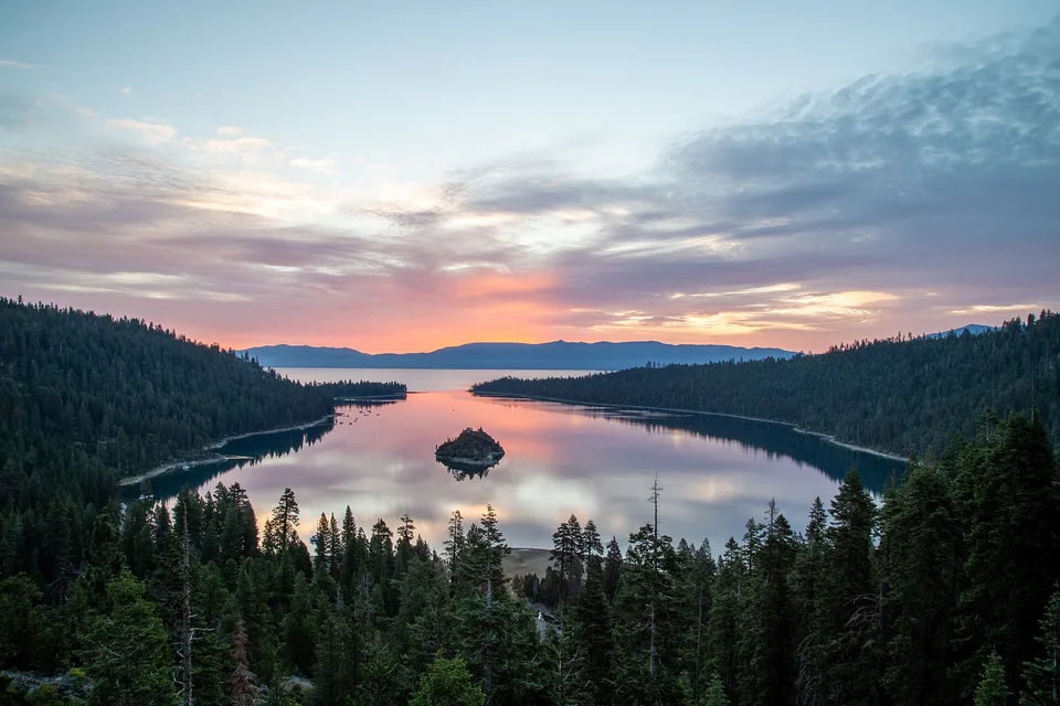
- Time
- Long full day
- Best for
- Sierra views, a short hike and a scenic mountain drive
- Road character
- US-50, South Lake Tahoe and Highway 89
A flexible plan
How to spend the day
- 01Check
Review Highway 50 and Highway 89 conditions
Snow, wildfire, construction and seasonal closures can change the plan before the car leaves Sacramento.
- 02Drive
Take a real break before South Lake Tahoe
The climb is long enough that a short reset improves attention on the final mountain segment.
- 03View
Choose one Emerald Bay access plan
A roadside overlook and a steep hike are different experiences; match the day to parking and mobility.
- 04Return
Turn back before the mountain drive feels late
Protect daylight and a rested driver instead of adding a lake-circling detour.
Fuel strategy
Leave the US-50 corridor with mountain reserve
Compare Sacramento suburbs, Placerville and Pollock Pines before the higher Sierra segment. South Lake Tahoe has fuel, but weather or traffic can make reaching it slower than expected.
Folsom corridor
Broad early choice before the foothills.
Placerville
Strong mid-route comparison and supply stop.
South Lake Tahoe
Useful before the return, but not a substitute for outbound reserve.
Before leaving, compare Sacramento gas-price coverage with Sacramento Area benchmarks. These averages provide context; use the route calculation to choose a stop.
Compare fuel stops for this routeBefore you leave
Practical notes
- Check Caltrans chain controls and park road notices immediately before departure.
- Emerald Bay parking fills early and roadside stopping is tightly constrained.
- The Vikingsholm trail is steep; an overlook-only visit is a valid alternative.
- Carry layers, water and an offline map because mountain conditions change quickly.
Official information
Check the current details
Conditions, reservations and closures can change. These first-party sources should be your final check before departure.
Quick answers
What drivers usually ask
Is this a realistic day trip from Sacramento?
Yes, if you protect the main stop and use the long full day plan described here. Check live road, weather and admission information before departure.
Where should I compare fuel for this drive?
Compare Sacramento suburbs, Placerville and Pollock Pines before the higher Sierra segment. South Lake Tahoe has fuel, but weather or traffic can make reaching it slower than expected.
See all image sources and licenses.