

Mountain and coast | Marin County
Mount Tam first, Stinson Beach when the coast warms up.
Pair East Peak views with a relaxed beach finish without crossing Marin twice. An early mountain start also gives you a better chance at parking and clear air.
Plan this drive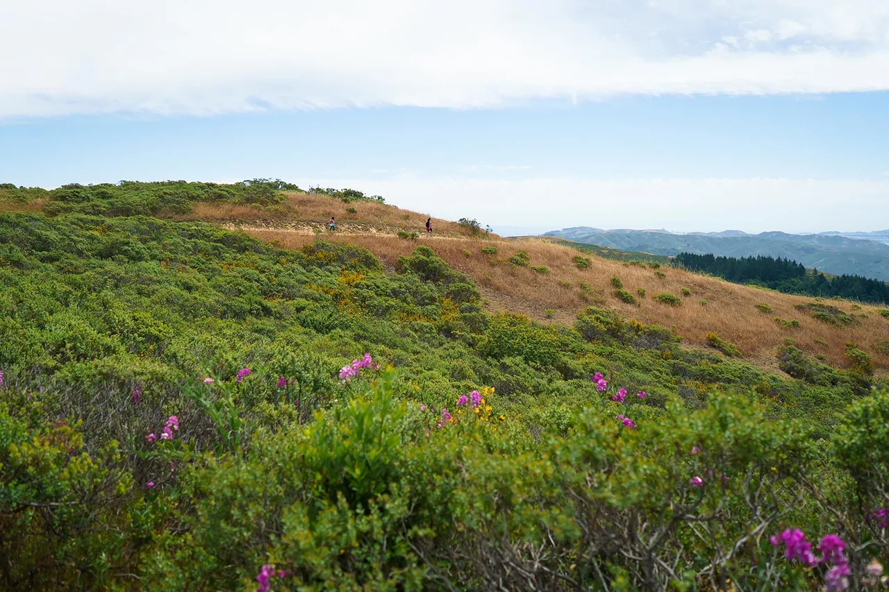
- Time
- Full day
- Best for
- Views, a short hike and a beach afternoon
- Road character
- US-101, Panoramic Highway and Highway 1
A flexible plan
How to spend the day
- 01Start early
Go to East Peak before the beach
Mountain parking and visibility are usually the fragile parts of this day. Reach the summit area first, then let the route descend naturally toward the coast.
- 02Walk
Choose one short Mount Tam objective
A viewpoint loop or compact ridge walk leaves energy for the beach. Do not stack multiple trailheads unless hiking is the main purpose of the day.
- 03Afternoon
Continue to Stinson Beach
The beach is a natural second act after the cooler morning on the mountain. Bring a layer because Marin weather can change over a few miles.
- 04Return
Choose the return by daylight and traffic
Highway 1 is scenic but slow. If everyone is tired, return through Mill Valley rather than turning the drive home into another attraction.
Fuel strategy
Buy fuel before the mountain road narrows
Compare northern San Francisco with Mill Valley and Tam Junction while the route still offers normal station choice. Once you climb Panoramic Highway, a small price difference is not worth reversing direction or adding another winding segment.
North San Francisco
Useful before the bridge when the tank is already low.
Mill Valley and Tam Junction
The last broad comparison before the mountain and coast split.
Stinson corridor
Treat as a destination zone, not a dependable fuel-shopping corridor.
Before leaving, compare San Francisco gas-price coverage with San Francisco Bay Area benchmarks. These averages provide context; use the route calculation to choose a stop.
Compare fuel stops for this routeBefore you leave
Practical notes
- Mount Tamalpais day-use areas generally operate from 7 a.m. to sunset; confirm current notices before leaving.
- Parking fees apply at several developed areas, including East Peak, Pantoll and Bootjack.
- Dogs are restricted to developed areas and are not allowed on most park trails.
- Carry layers: the summit, forest and beach can have different wind, fog and temperature.
Official information
Check the current details
Conditions, reservations and closures can change. These first-party sources should be your final check before departure.
Quick answers
What drivers usually ask
Should I visit Stinson Beach or Mount Tam first?
Mount Tam first is usually the cleaner plan because summit parking and morning visibility are less predictable than a flexible beach stop.
Where should I refuel on this route?
Compare northern San Francisco with Mill Valley or Tam Junction before committing to Panoramic Highway.
See all image sources and licenses.