

River canyon | Placer County
Use the canyon for the morning and Old Town Auburn for the reset.
Auburn is close enough for a flexible day but complex enough to reward one chosen trailhead. Decide the river access first, then use the historic center as an easy second stop.
Plan this drive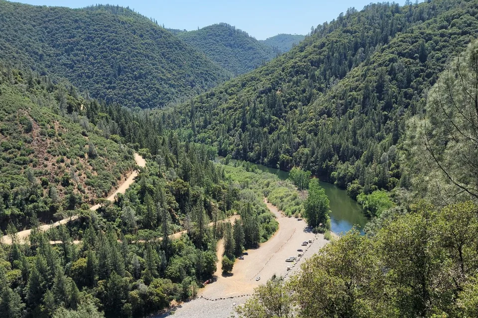
- Time
- Half or full day
- Best for
- River views, foothill trails and Gold Country history
- Road character
- I-80 to winding canyon access roads
A flexible plan
How to spend the day
- 01Choose
Pick the trailhead before leaving Sacramento
The recreation area spans a large canyon; a named access point prevents slow last-minute navigation.
- 02Walk
Hike before foothill heat builds
Match distance and elevation to the group, and turn around with energy for the climb back.
- 03Town
Move once to Old Town Auburn
Use lunch and a short historic walk as recovery rather than adding another remote trailhead.
- 04Return
Rejoin I-80 before weekend traffic stacks
Check live traffic around Roseville and choose a calm departure window.
Fuel strategy
Compare Roseville, Rocklin and Auburn on the actual I-80 line
All three corridors offer route-adjacent fuel. The best stop depends on current price and detour, but it should happen before descending to a river trailhead where services are limited.
Sacramento
Useful when starting below a comfortable reserve.
Roseville and Rocklin
Broad competition directly along I-80.
Auburn
The last practical comparison before canyon roads.
Before leaving, compare Sacramento gas-price coverage with Sacramento Area benchmarks. These averages provide context; use the route calculation to choose a stop.
Compare fuel stops for this routeBefore you leave
Practical notes
- Select an official access area rather than navigating to the park name alone.
- Summer heat and exposed climbs can make a short mileage feel much harder.
- River flow and water temperature can remain hazardous even in warm weather.
- Parking rules differ by trailhead; carry a payment method and check notices.
Official information
Check the current details
Conditions, reservations and closures can change. These first-party sources should be your final check before departure.
Quick answers
What drivers usually ask
Is this a realistic day trip from Sacramento?
Yes, if you protect the main stop and use the half or full day plan described here. Check live road, weather and admission information before departure.
Where should I compare fuel for this drive?
All three corridors offer route-adjacent fuel. The best stop depends on current price and detour, but it should happen before descending to a river trailhead where services are limited.
See all image sources and licenses.